White Rim Trail May 2026
18 min read 3,607 words
The newly established Canyonlands National Park. Most of the major points of interest in this park are presently accessible, over passable dirt roads, by car...Nevertheless the Park Service had drawn up the usual Master Plan calling for modern paved highways to most of the places named and some not named.
~Ed Abbey, Desert Solitaire
Preamble
This trip admittedly started out on the wrong foot, multiple feet really, but we stuck the landing and the judges gave us a respectful score anyways. We didn't get a gold medal, or even bronze, but it was more than a "hey, you showed up", trophy and closer to a "we actually competed". The goal was to complete the White Rim Trail in the Island in the Sky district of Canyonlands National Park in 2 days/2 nights time. The trail is about 100 miles long and back-country driving the whole way.
The first stumble out of the gate was missing the permitting deadline for the time we wanted to go, which was April. I woke up on the day the permits were to be released, logged on to recreation.gov at 8am MT only to find there were zero campgrounds open. I'm not sure how this is possible, but it's a troubling experience I've had with recreation.gov and had others tell me they've experienced the same phenomenon. Some mixture of campsite "hoarding", or usage of the "rolling window" hack, plus bots, and very low "no-show" fees appears to be the imperfect storm creating this frustration.
My friend, Dustin, the creator behind Explore Southwest, came to the rescue and was able to grab a permit for us and camping spots at the Airport and Murphy's campgrounds but for May. These are two prime locations that set a traveler up well for efficient use of time and miles. If you're going the traditional clockwise path through the trail, you'll reach the Airport campgrounds in the evening if you start around noon and take a leisurely pace. We figured it would be much hotter than doing the trail in April and more of a gamble, but it was the only time Dustin was able to secure. Our plan also included bookend nights in Moab, the quintessential desert recreation hub of Utah.
While possible, you shouldn't try to complete the whole trail in a single day. There's too much to see and ponder along the way. There's no promise of water outside of a few areas where you're close to the river. There are pit toilets at the campgrounds which are fairly spread out throughout the trail. Once you're past the Potash road, you'll definitely want a high clearance 4WD vehicle with a 4-Low capable transfer case.
The "there" of "there and back again"
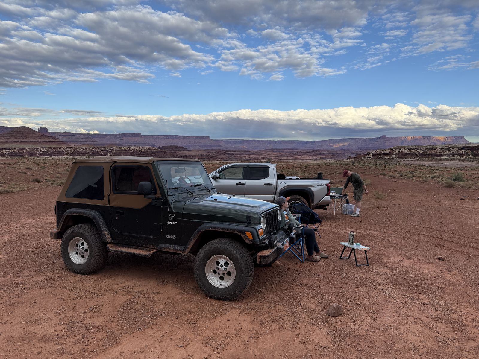
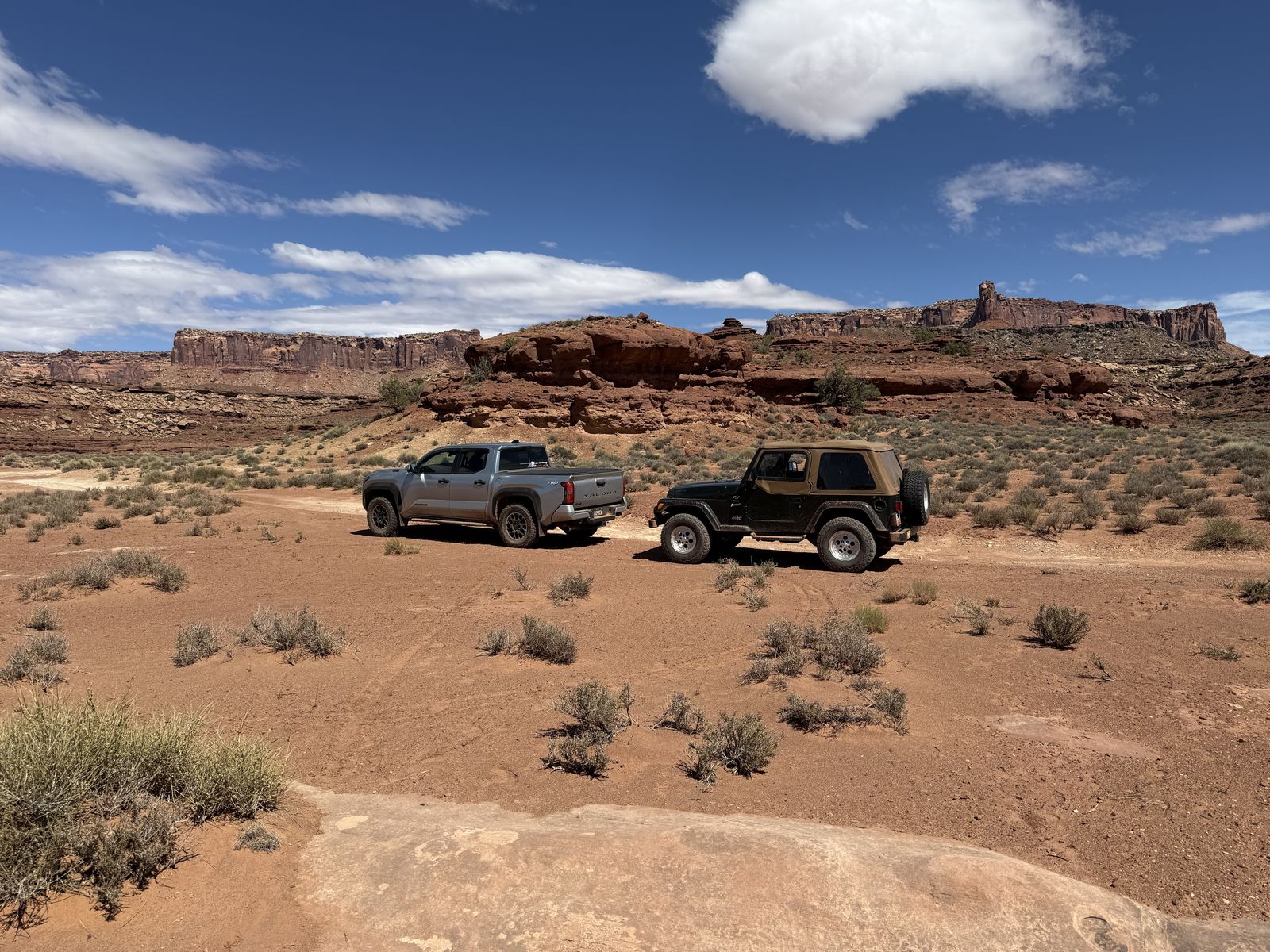
We (Dustin, Alex, Sonya and I) started from the Shafer Switchbacks trailhead around 2pm and planned to end at Mineral Bottom. I should also mention I was in a physical state somewhere between "hung over" and "Salmonella sick" on the day we arrived in Moab and the first day of the White Rim trek. I'm not sure which, but there had been a lot of beers and questionable food consumed in the 36 hours prior to our departure for Moab as I was scrambling to fix a brake issue with my XJ. The fact that the TJ appears in these photos should tell you how all that work played out.
Shafer
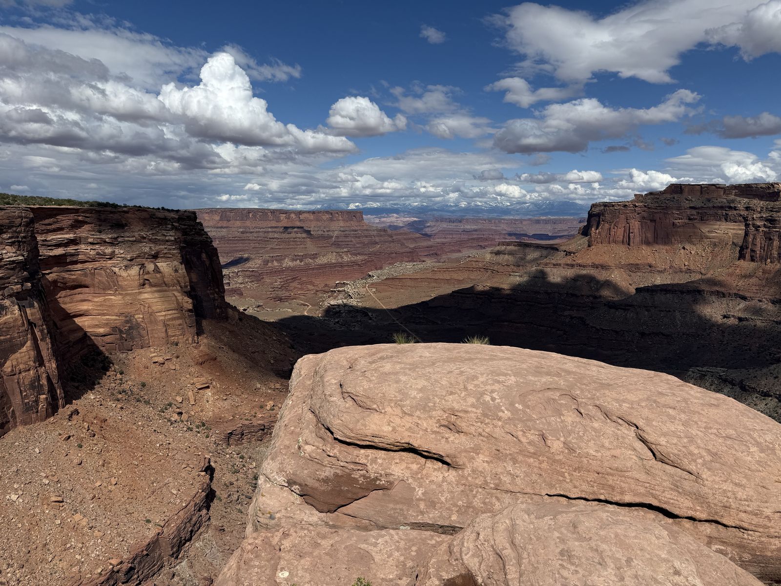
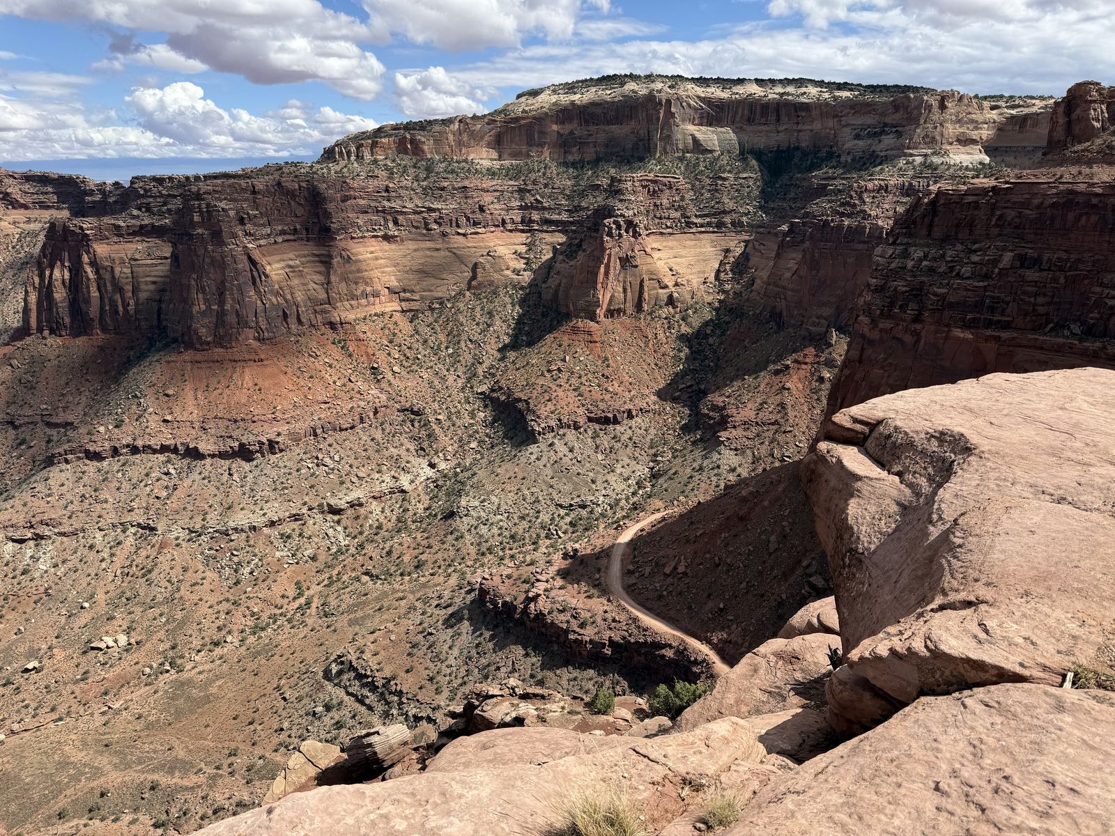
Admittedly, the Shafer switchbacks look really worrisome from the canyon rim. Once you're on them though they are pretty easy. Yes, one wrong turn, or one mix-up of the gas and brake pedal and you're quickly approaching terminal velocity towards the canyon floor, but don't think about that on the trail, just focus on the road ahead. Breathe, catch a great view, don't pay any attention to the circling carrion birds overhead. You could use 4-Low here, but you really don't have to, in fact, if you do, you'll likely get bored by how long it takes to traverse the straight parts between the curves.
Musselman Arch
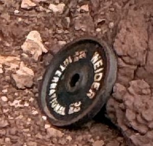
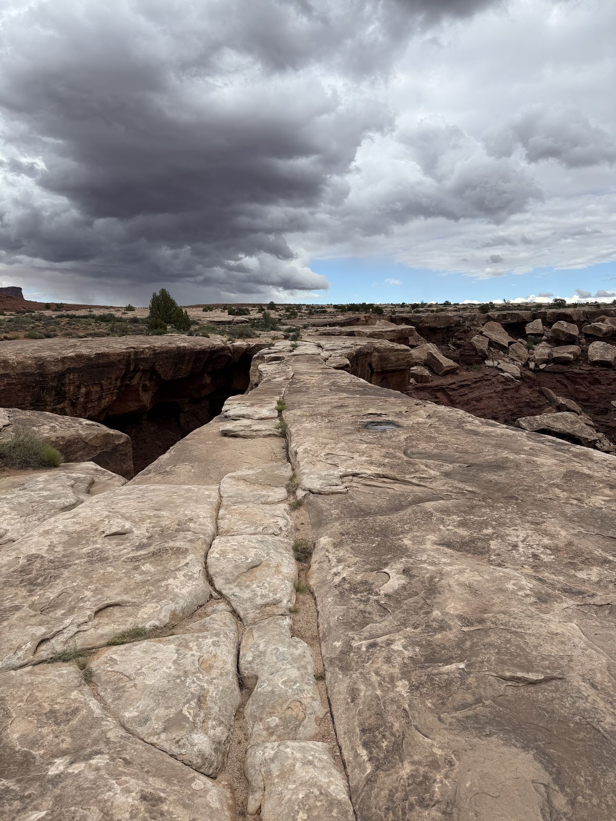
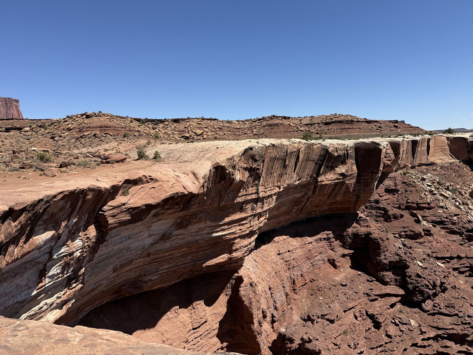
This arch doesn't look like your "typical" redrock Utah arch. It’s essentially a long, nearly flat slab of White Rim Sandstone spanning a deep cut in the rim, so from an angle it looks like a natural bridge or a piece of roadway hanging over the canyon than a big curved arch. It's literally part of the White Rim trail itself, at least made of the same thing. The resistant White Rim Sandstone forms the broad bench that the White Rim Road follows. That rock was deposited during the Permian period, roughly 275–290 million years ago, largely from wind-blown sand near the edge of an ancient dune field. Scientists have hooked up the arch to microphones to listen for harmonics that indicate erosion or even seismic activity. On an album of earth music, what instrument would this be listed as? "Yeah, I play the arch on that record, practiced for days..." The color of the trail wasn't always white, that coloration is relatively recent it seems.
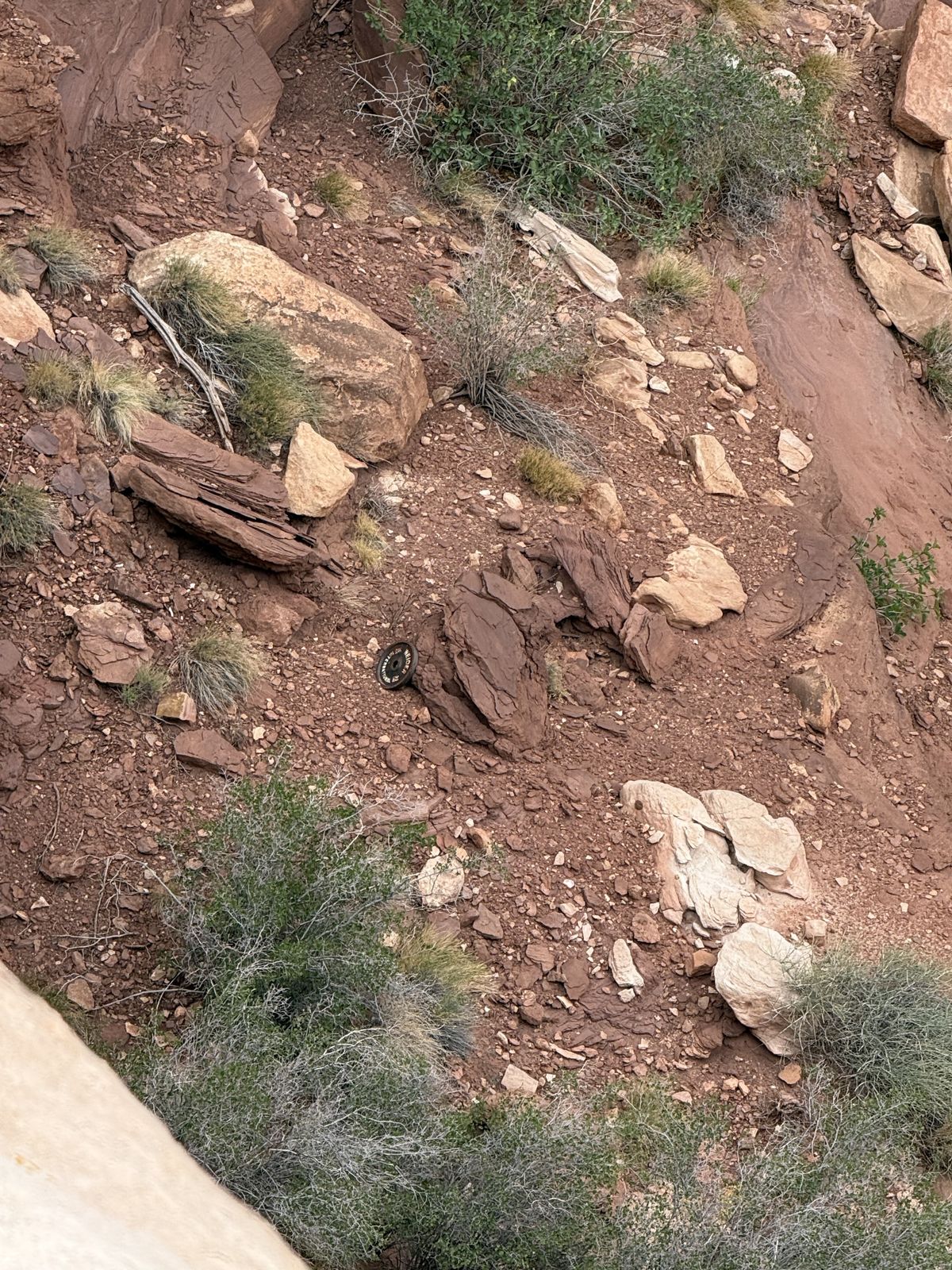
In days of yore, before Instagram or even deviantart, White Rim travelers would often get a photo walking over the arch. That is discouraged these days since in modern times we've determined that the arch is actually really thin and a long ways down. Someone with a sense of humor has thrown a barbell plate down at the foot of the arch. Leave no trace and never skip leg day, ofc.
The name of the arch comes from an old rancher and tour-guide from the Moab area. You can find several references to him in these old desert magazines.
Airport Tower
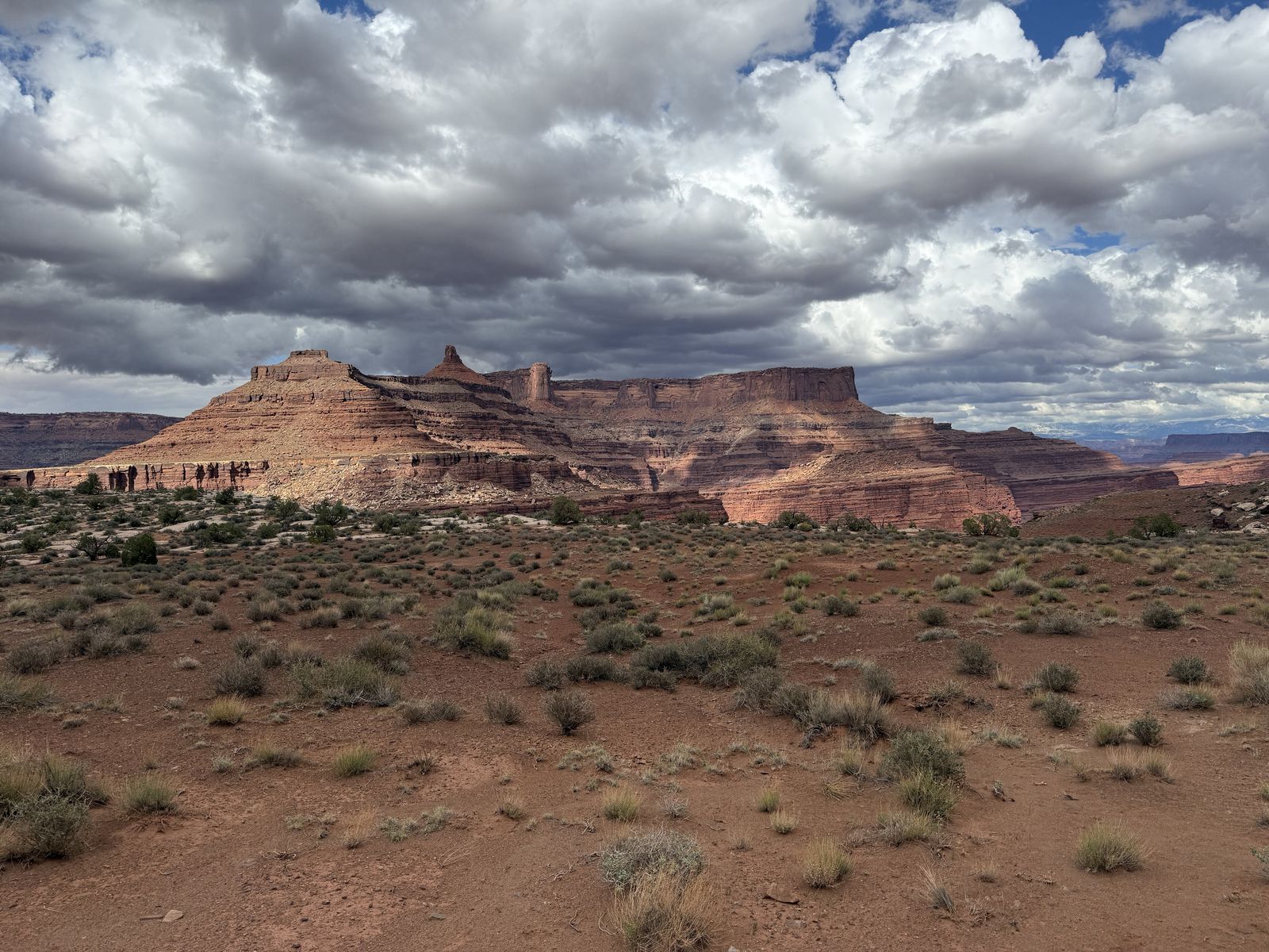
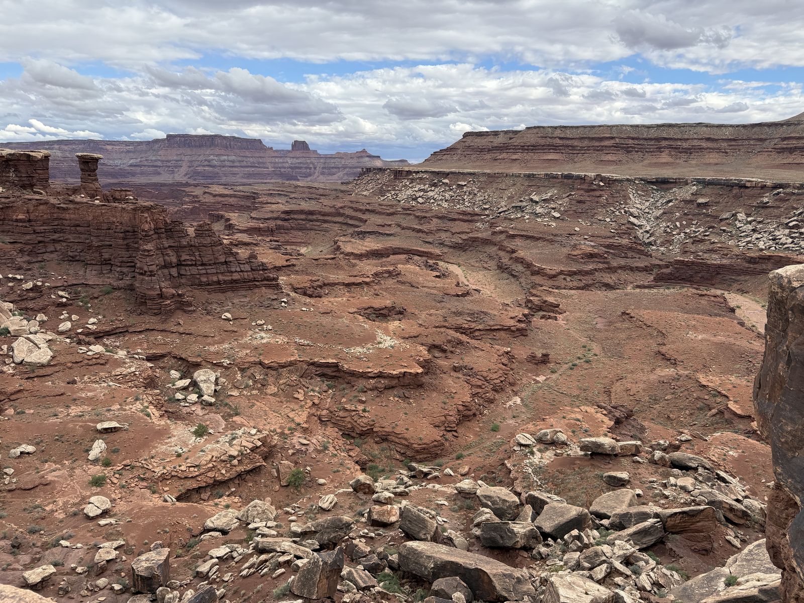
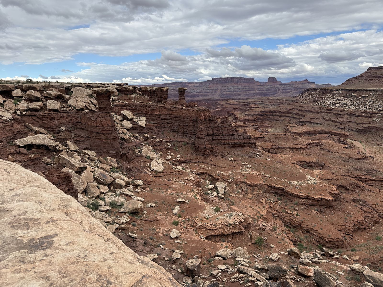
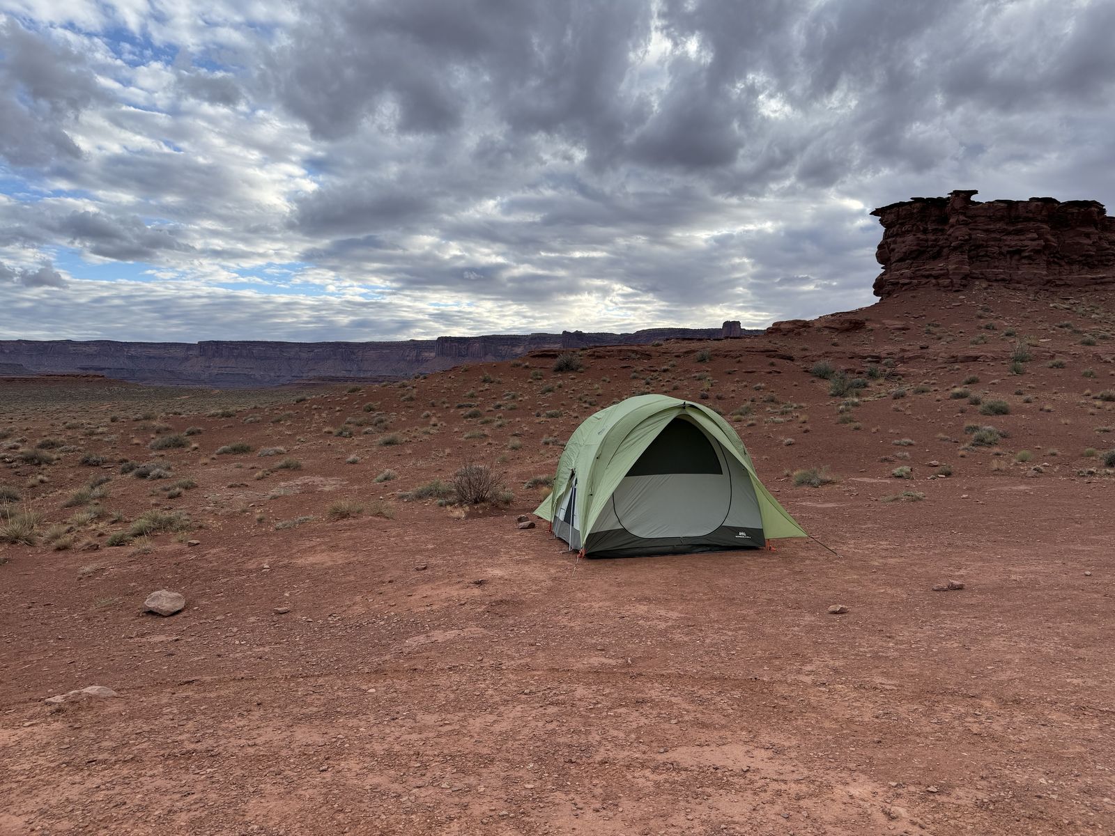
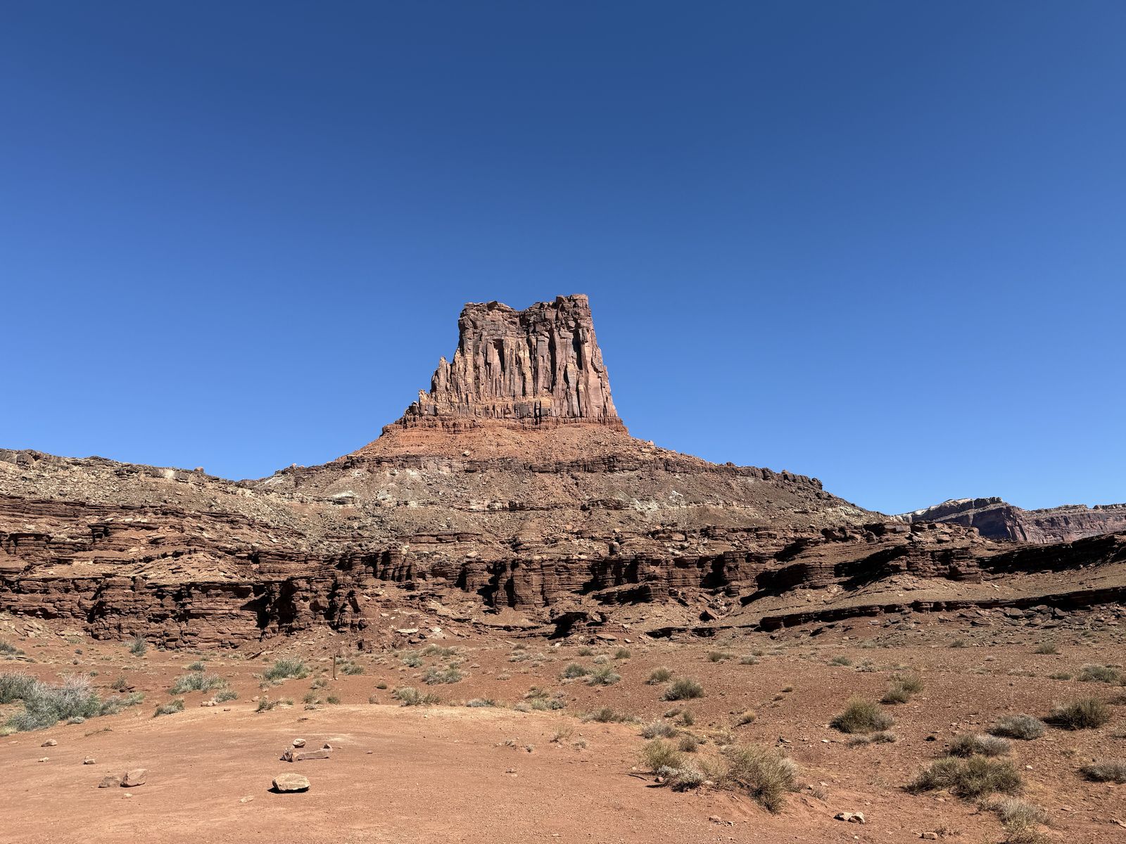
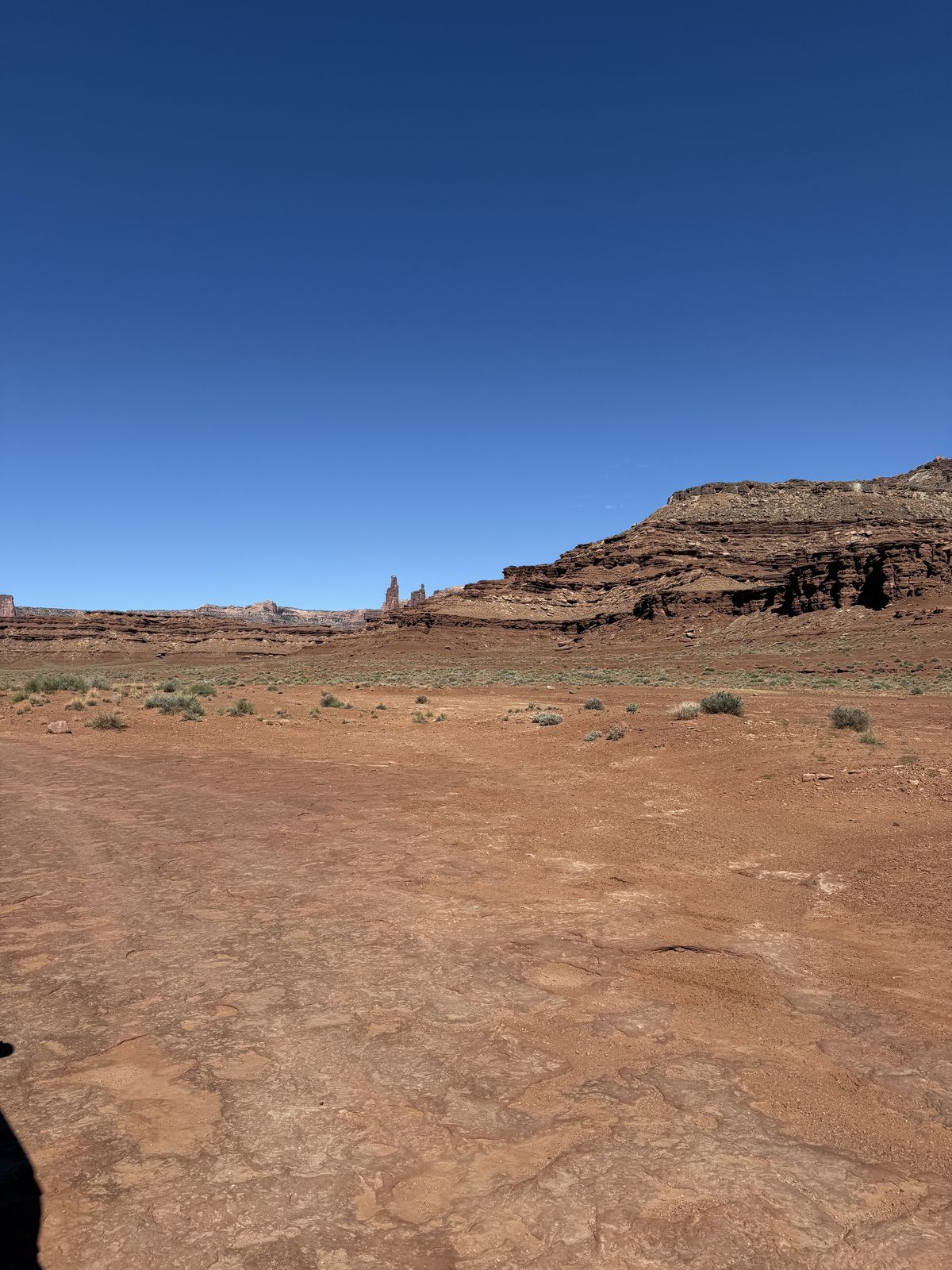
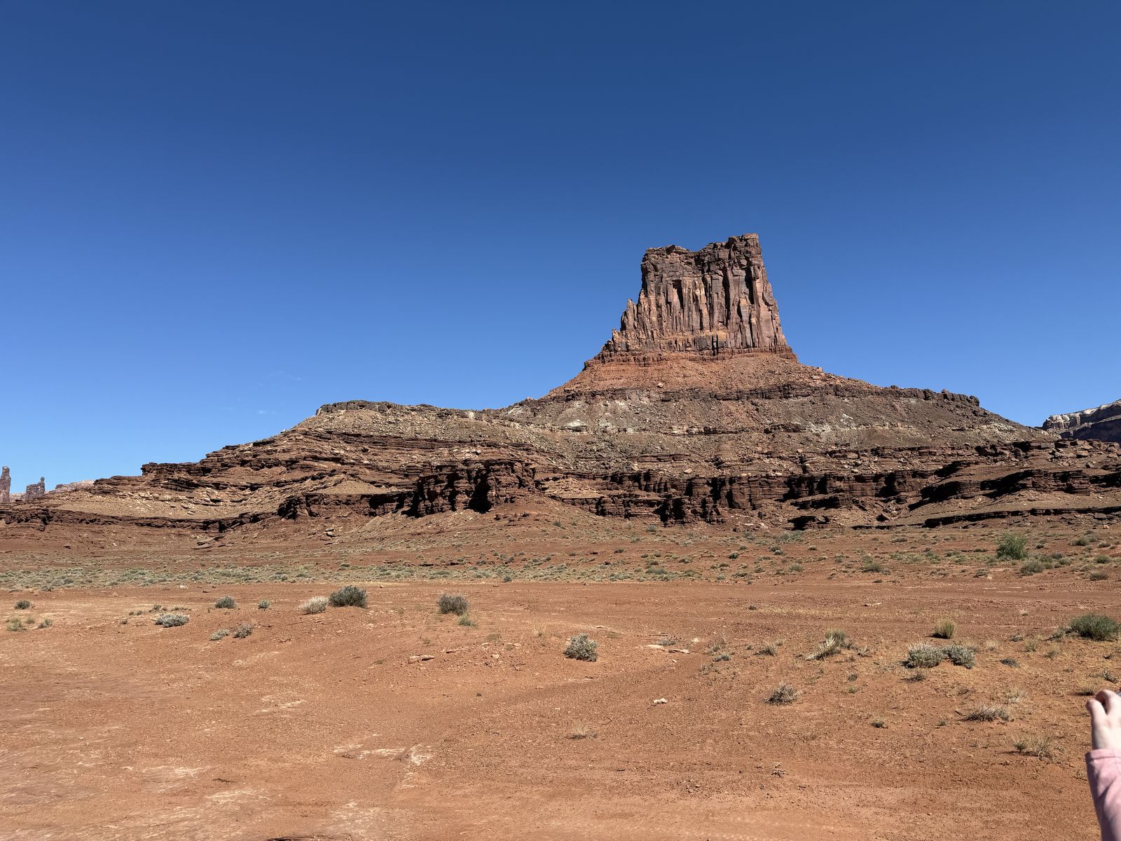
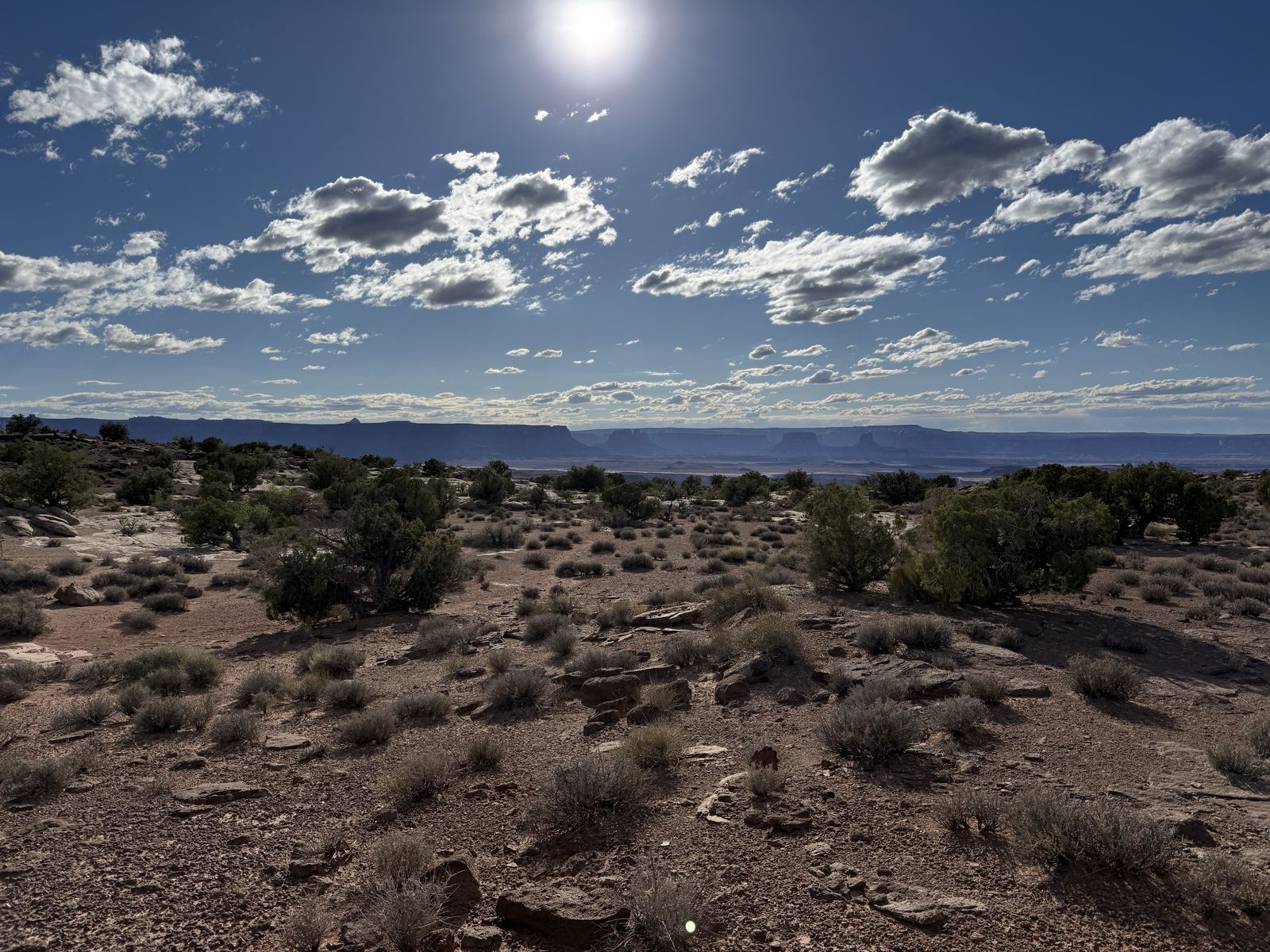
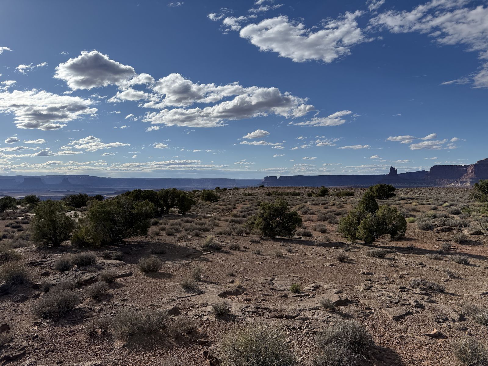
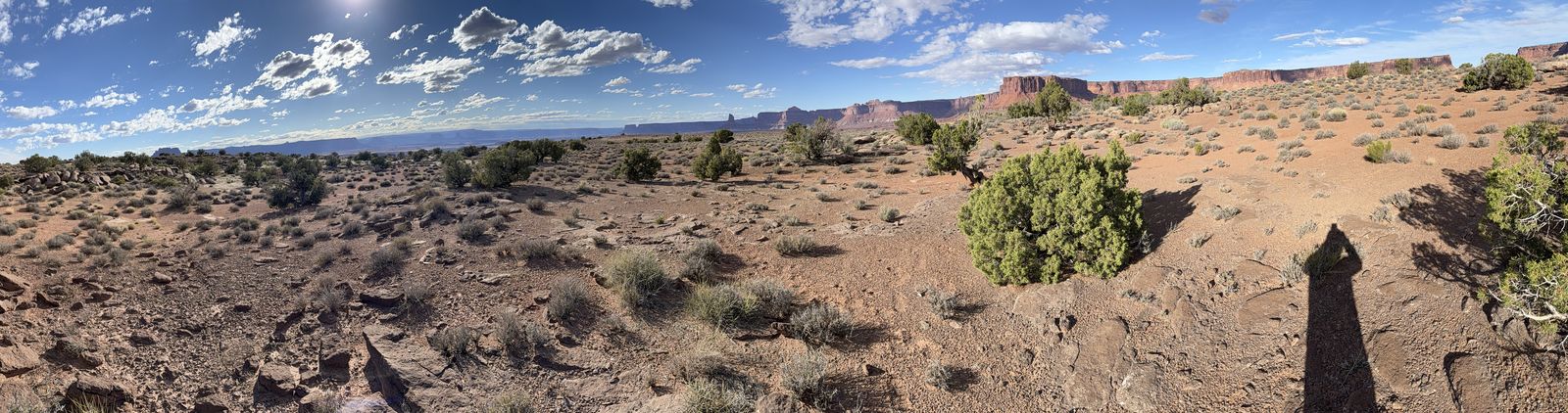
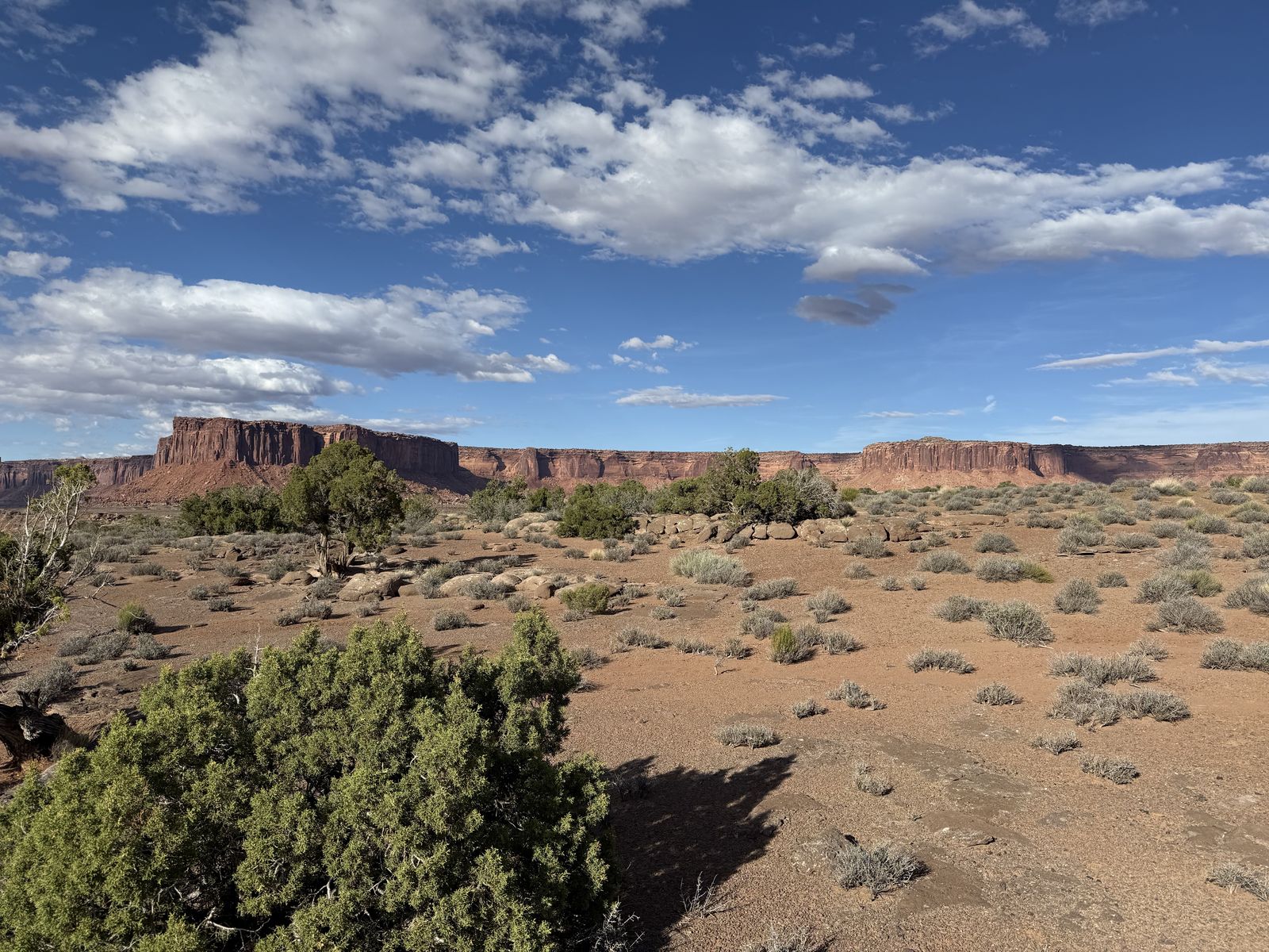
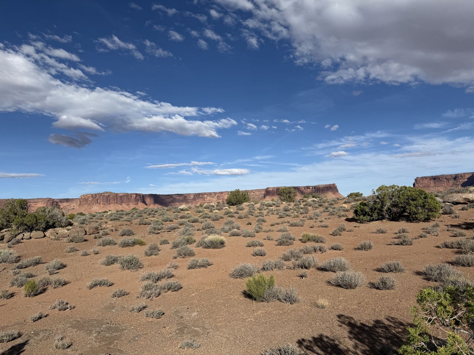
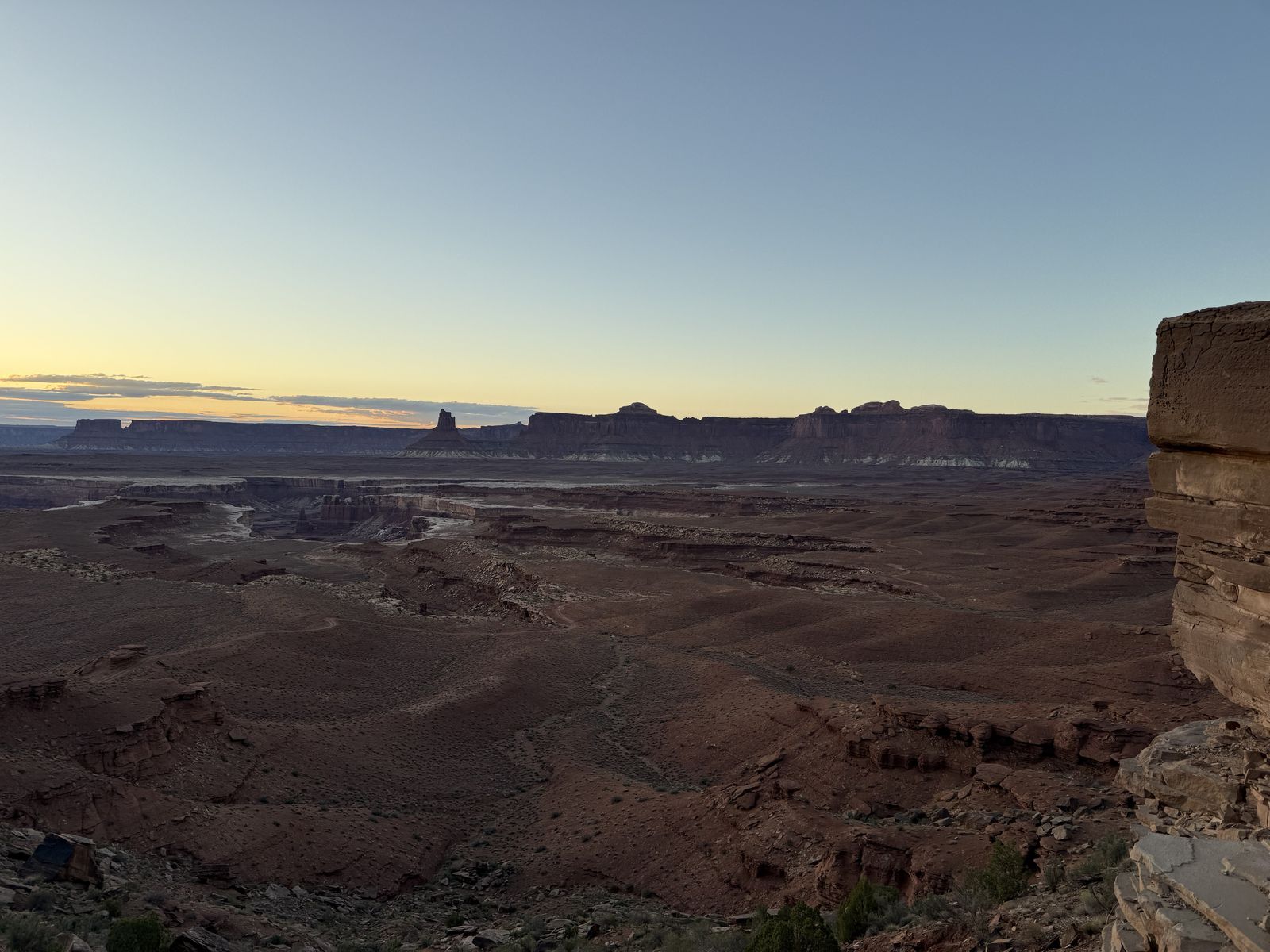
We made it to the Airport C & D campgrounds by early evening with plenty of sun to set up camp and made dinner. Airport Tower is interesting because the whole “airport” theme is a visual joke taken from the landscape. There was never an airport there. The NPS says the broad bench around the campsites is so wide, flat, and open that it looks like a place where an airplane could land, and the nearby butte looks remarkably like an airport control tower, hence the names. The campsites are on the open, exposed desert bench rather than a sheltered canyon-bottom camp or mesa-top fortress. This is quite a bit different from the landscape you've traversed so far or will for the remainder of the journey.
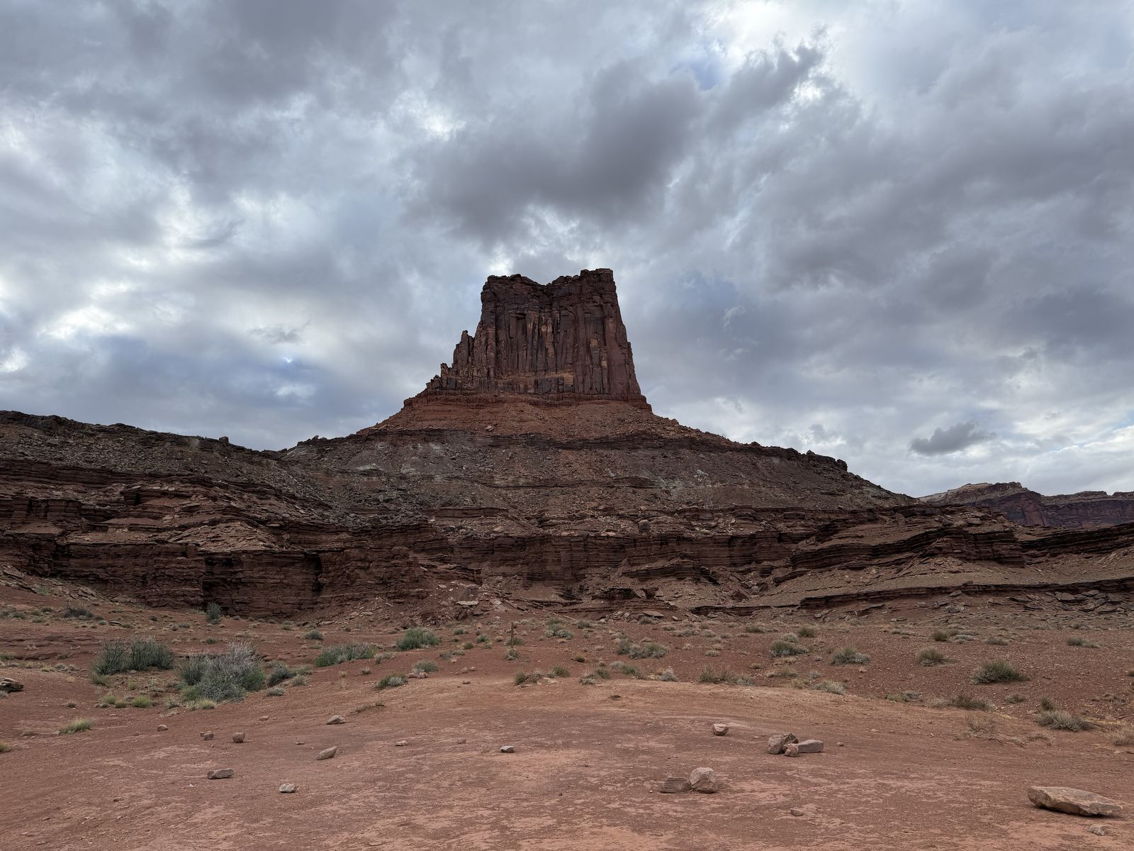
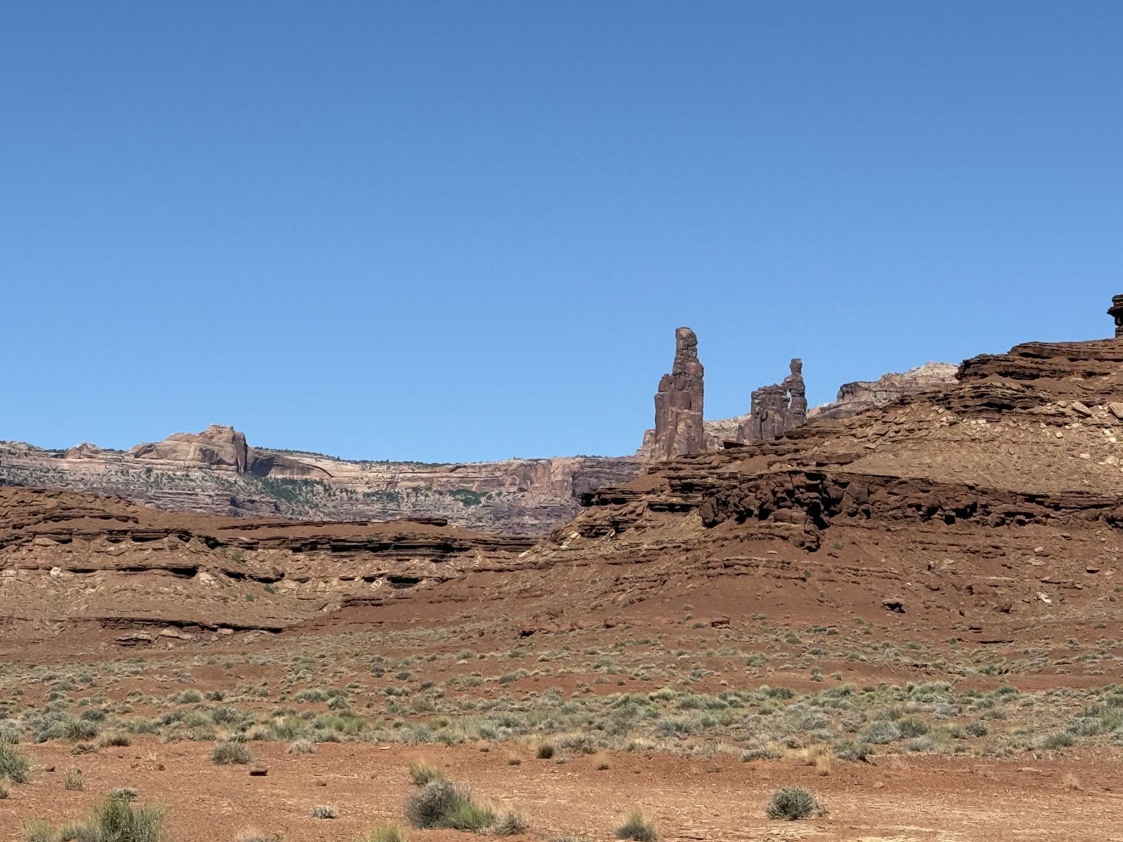
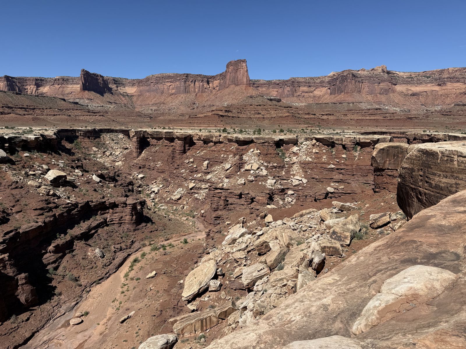
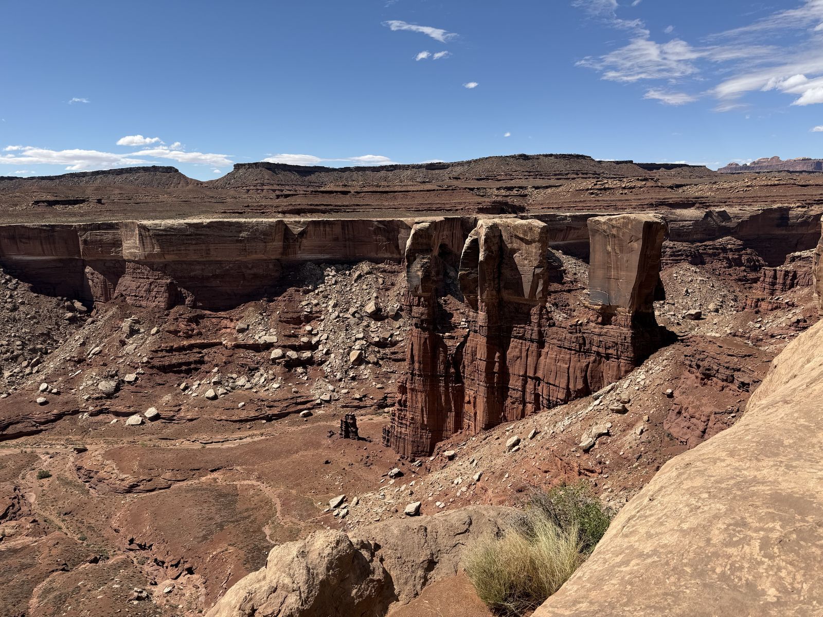
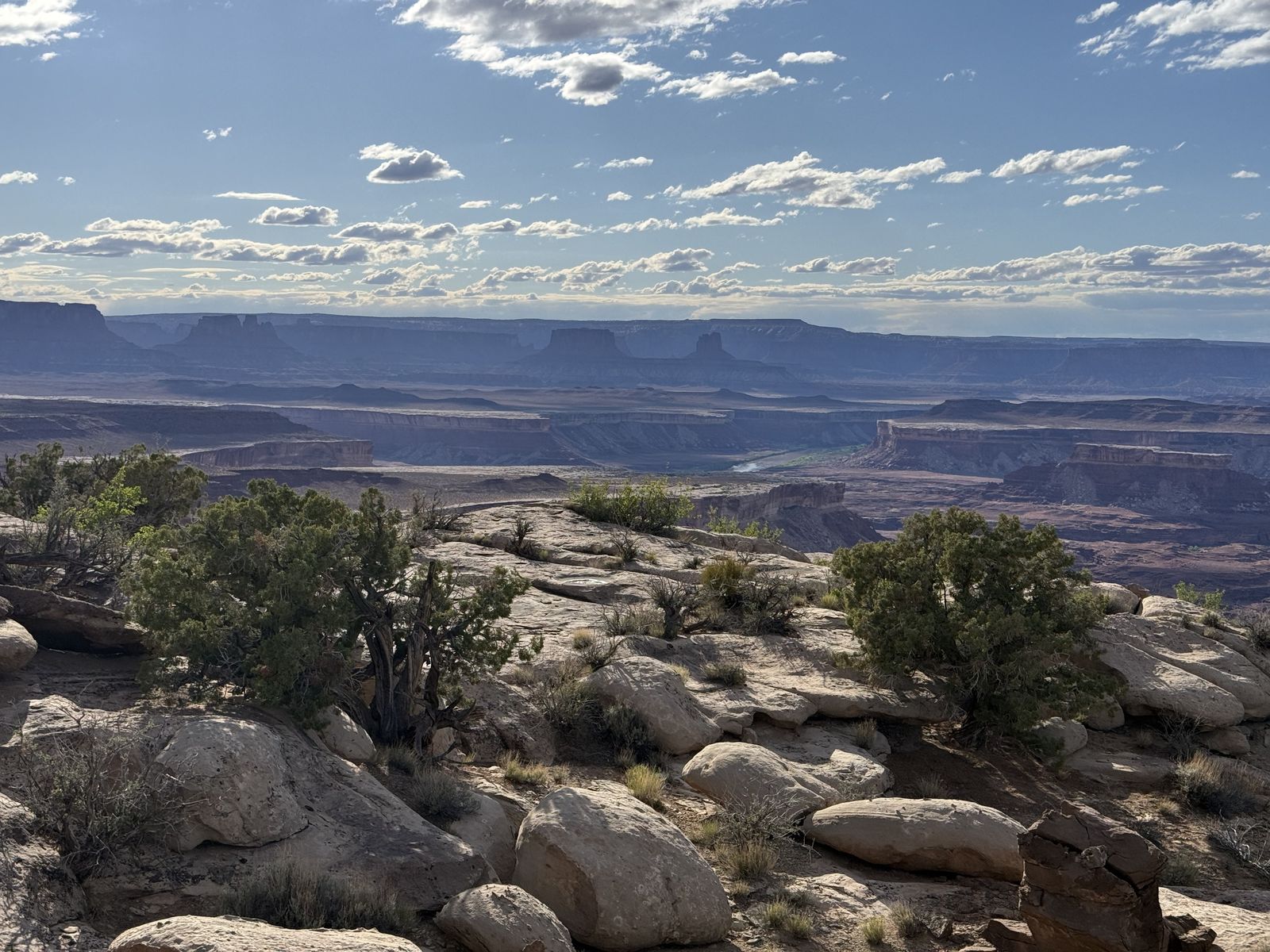
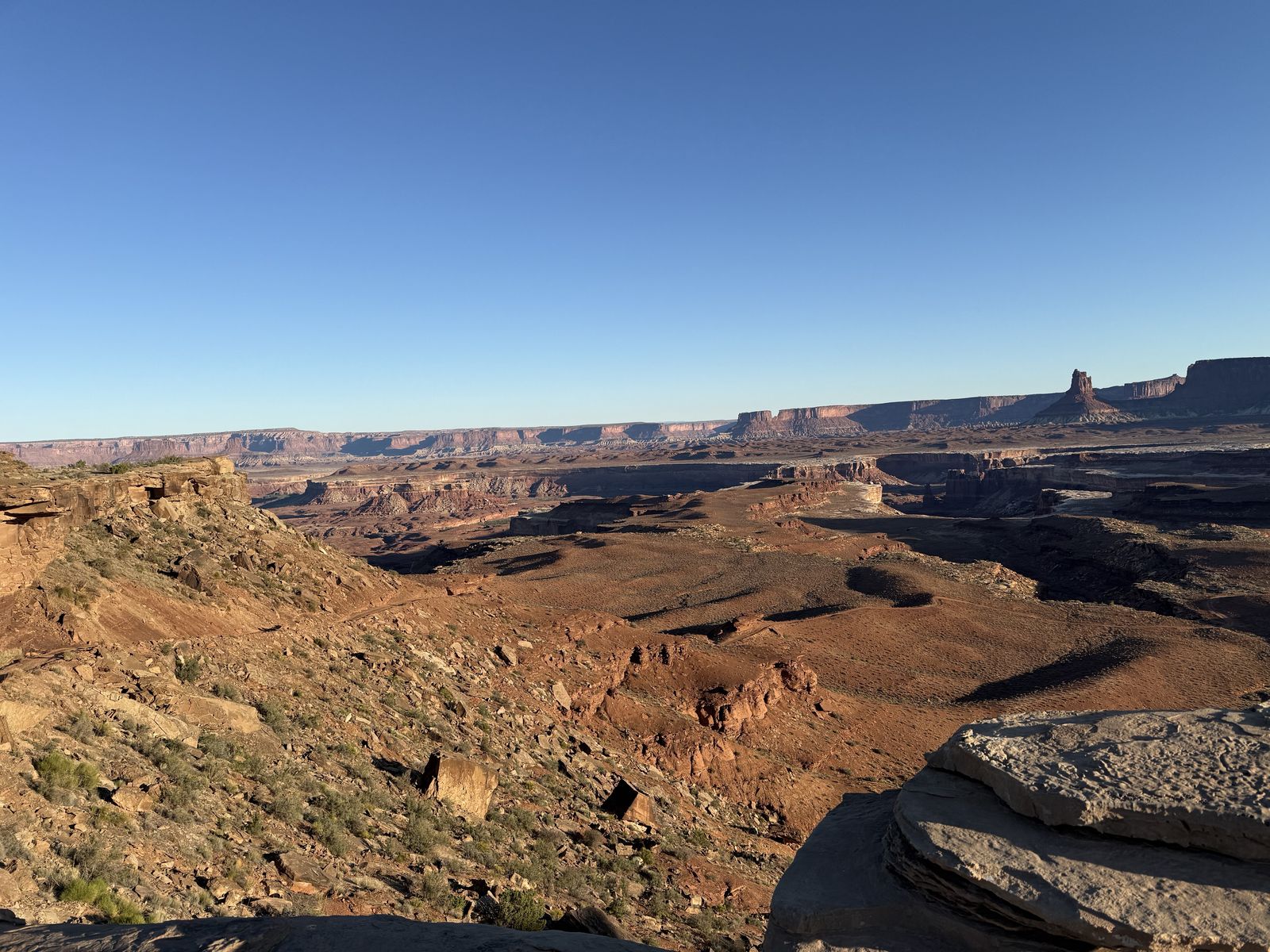
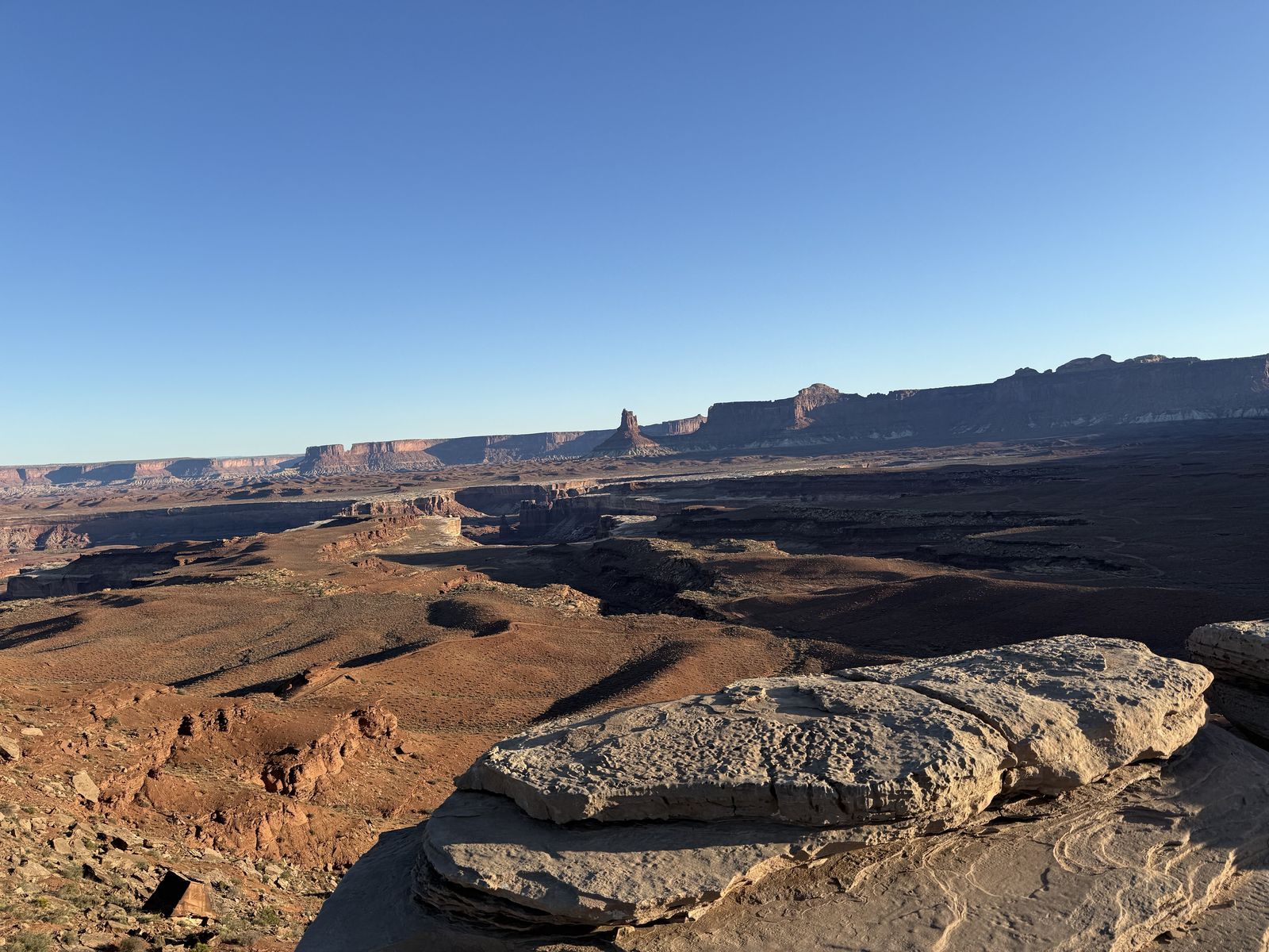
Airport Tower is part of a whole cluster of striking formations. Nearby this area are Monster Tower, Washer Woman, and Tiki Tower,[1] so as you travel around Buck Canyon the skyline becomes one of the more recognizable sections of the White Rim. Mesa Arch, far above on Island in the Sky, actually looks out toward this same collection of towers; if you've seen the classic sunrise view through Mesa Arch, these are some of the formations in the landscape beyond it on the canyon floor.
The next morning, I was feeling great, thankfully despite a rough 48 hours. The driving this day would be pretty easy until we made it to the next campsite on top of Murphy's mesa.
Murphy's Hogback
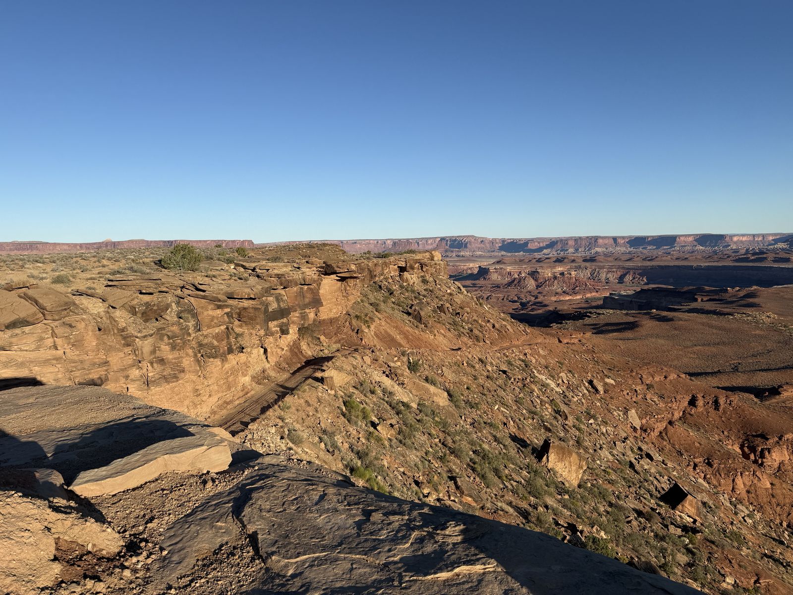
The hogback is a long, narrow, elevated tongue of Moenkopi-age rock rising a few hundred feet above the surrounding White Rim platform. The road has to climb up and over it rather than staying on the comparatively level White Rim Sandstone, which is why you suddenly get that steep ascent, a high flat ridge, and then the dramatic descent on the other side. You definitely should use 4-Low going up and down. You need to take your time as there are blind curves both on the ascent and descent where someone traveling in the opposite way from you could meet you at a place that is very difficult to turn around or back up. I found going down a little more stressful than the drive up, but luckily Dustin pulled first duty up and ensured no opposite way traffic were coming before the blind turns. Going down, there are several sharp turns that are hard to make in 4-Low, but the low gearing definitely controls your descent in this steep terrain. Right after the Hogback I remember there being some relatively smooth driving for the next few miles, I think we might have reached 15 mph during this section which felt quite speedy.
The name comes from the Murphy brothers (Tom, Otho, and Felix) who constructed the Murphy Trail in 1914 so they could move livestock between the Island in the Sky country and grazing land south of the hogback. Imagine trying to herd cattle down that route? Parts of that historic trail still form today's Murphy Loop hiking trail. The campsites are special largely because the NPS put them on top of the hogback rather than down on the White Rim bench. Murphy has only three sites, A–C. Whichever you stay at, you're out of earshot of the others. C is nearest the pit toilet for good or ill. At roughly mile 45 clockwise, Murphy also falls close to the natural midpoint of the route.
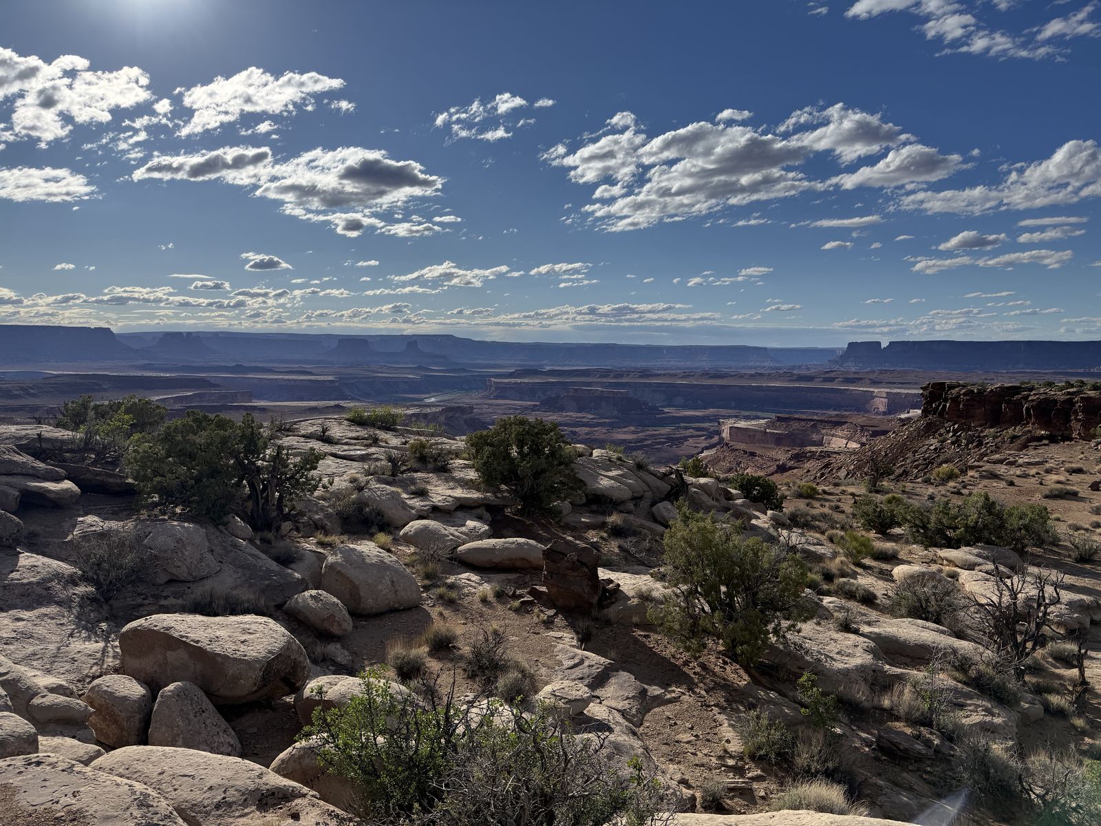
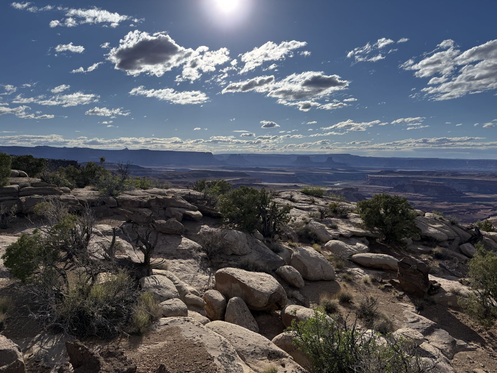
Definitely try to snag one of these campsites. They offer sweeping 360-degree desert vistas with dramatic drop-offs all around. On a clear night, the amount of stars you can see make you feel really insignificant but lucky.
Black Crack
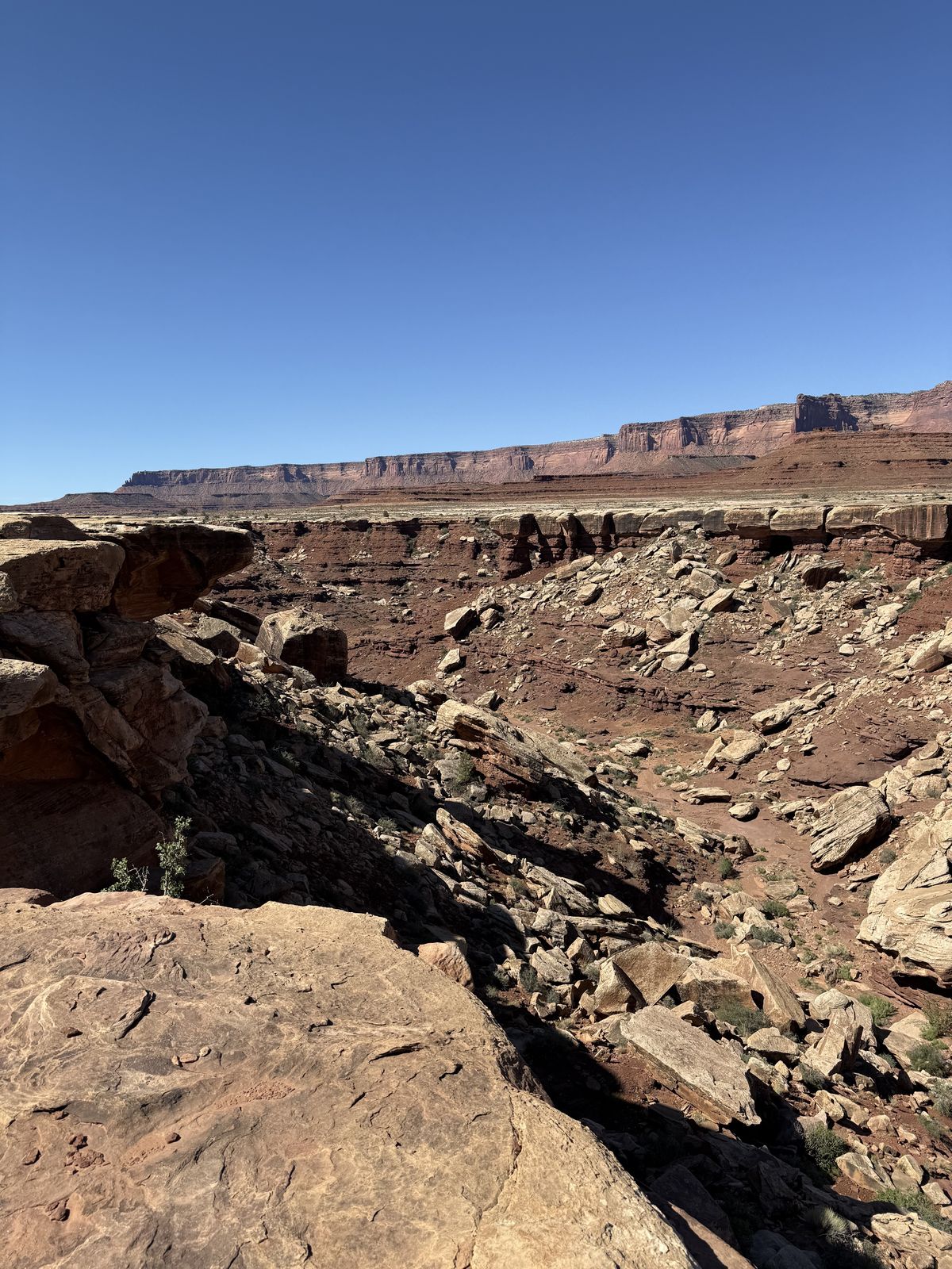
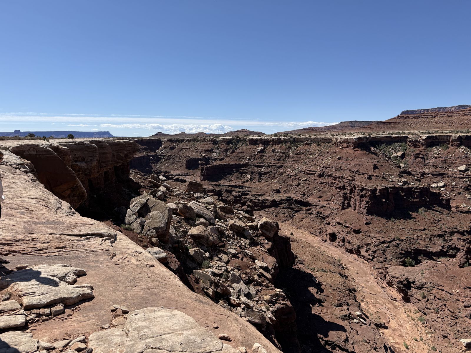
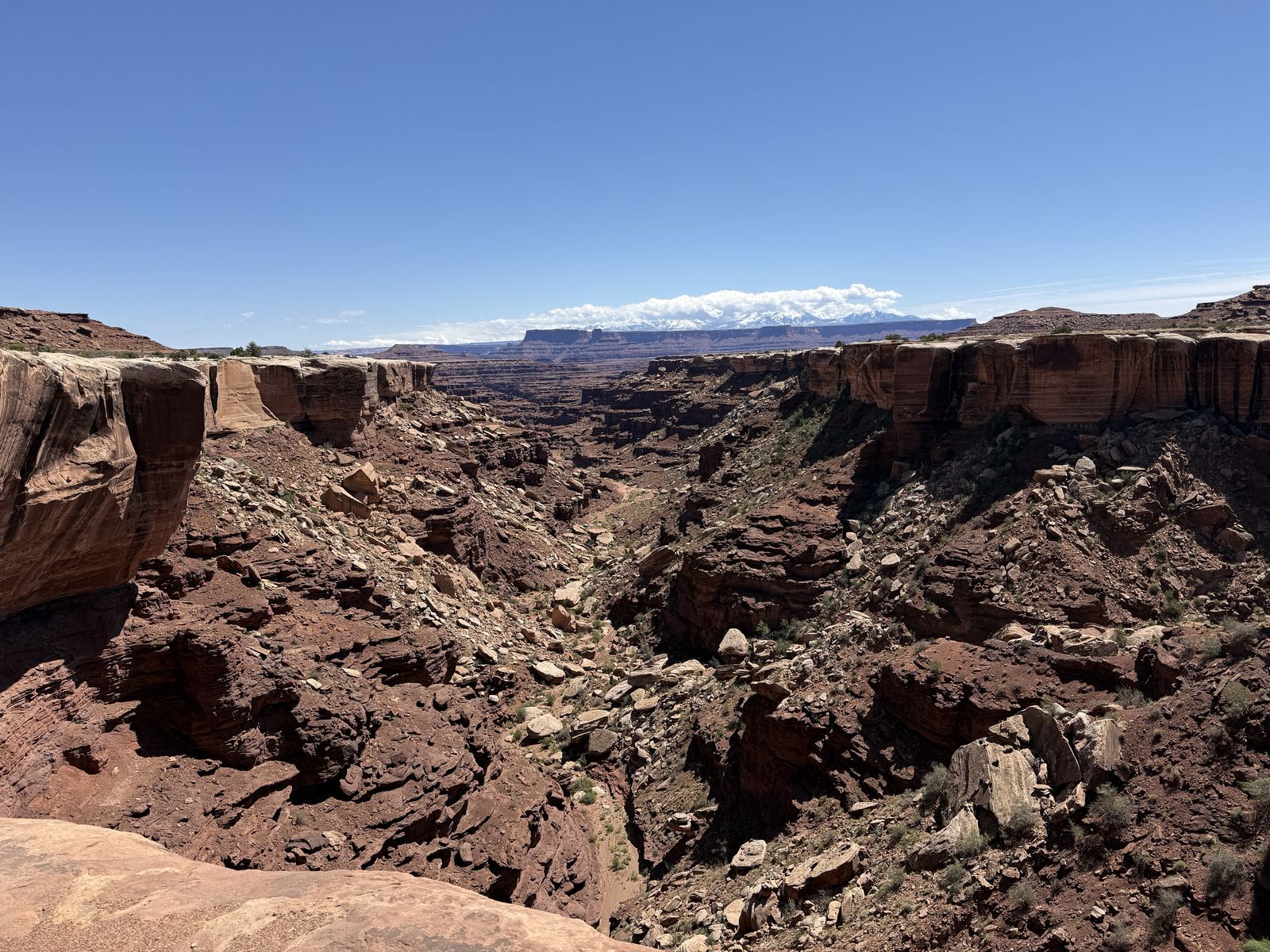
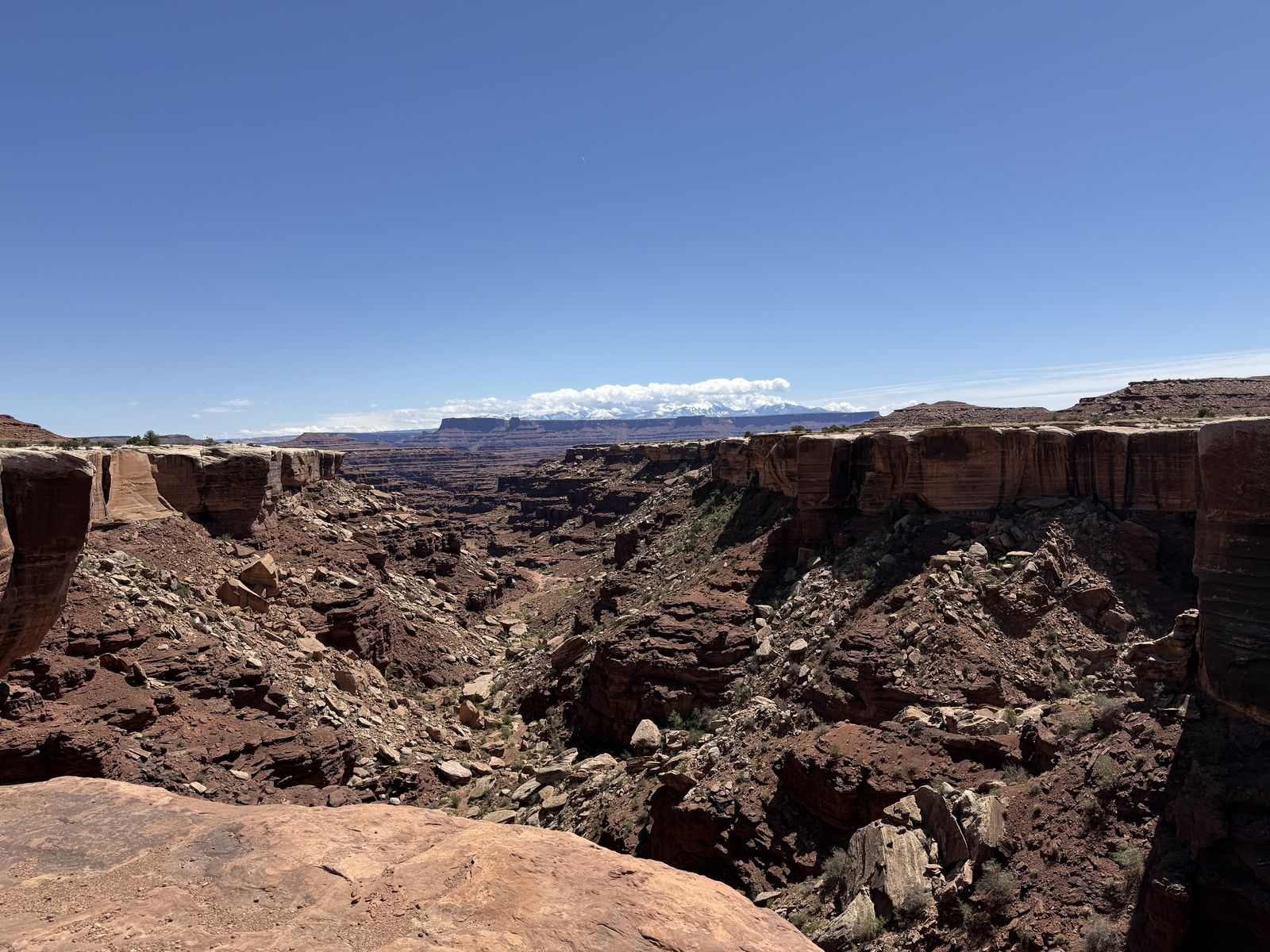
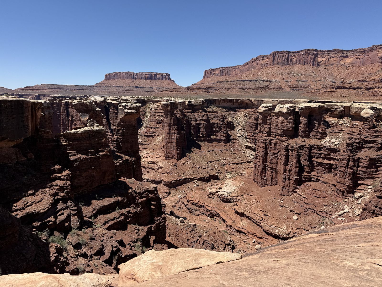
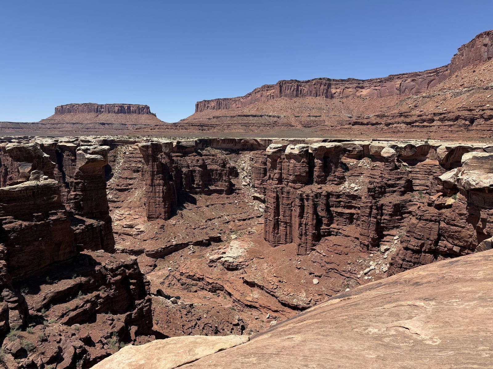
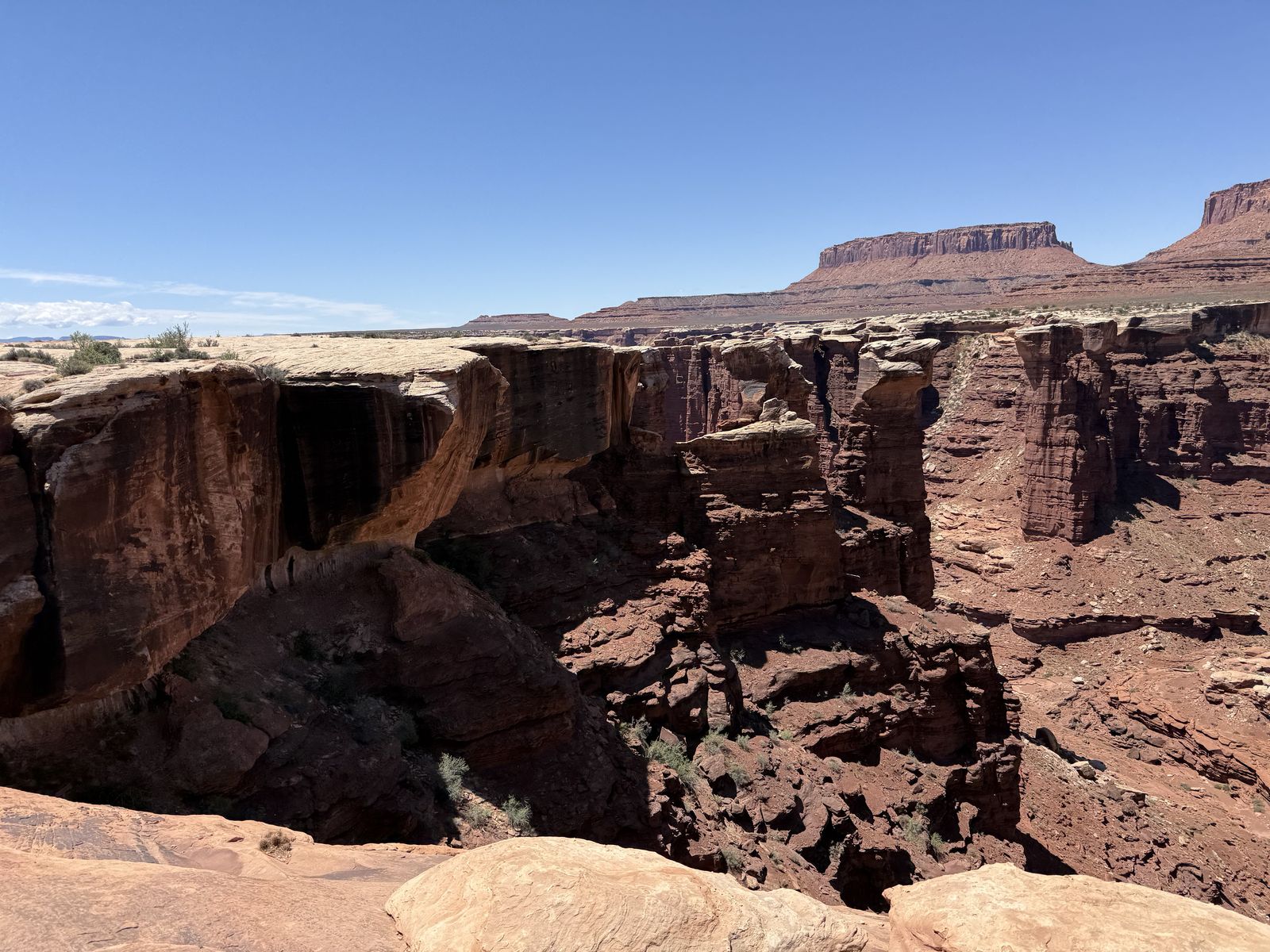
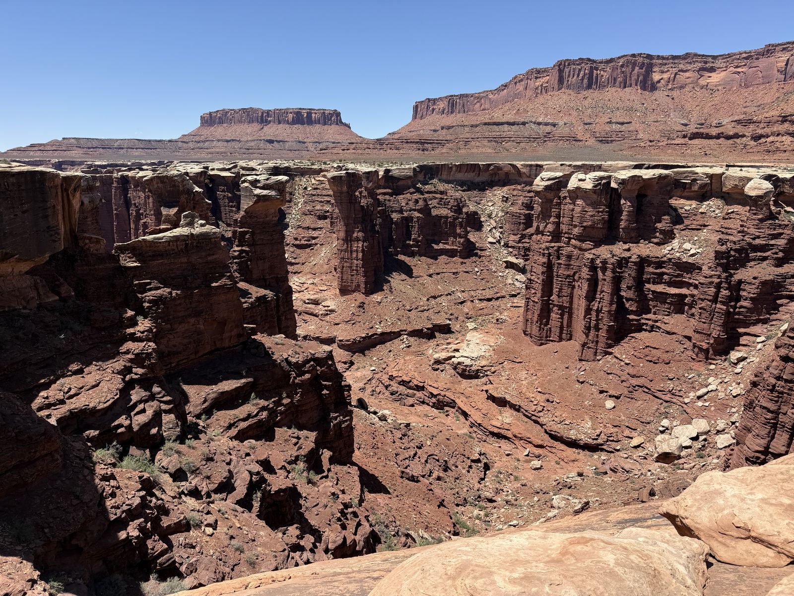
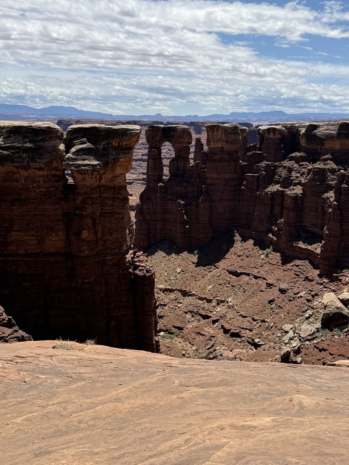
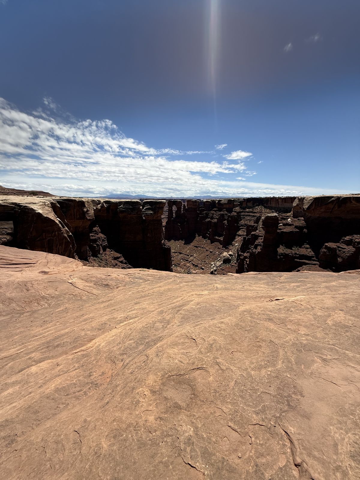
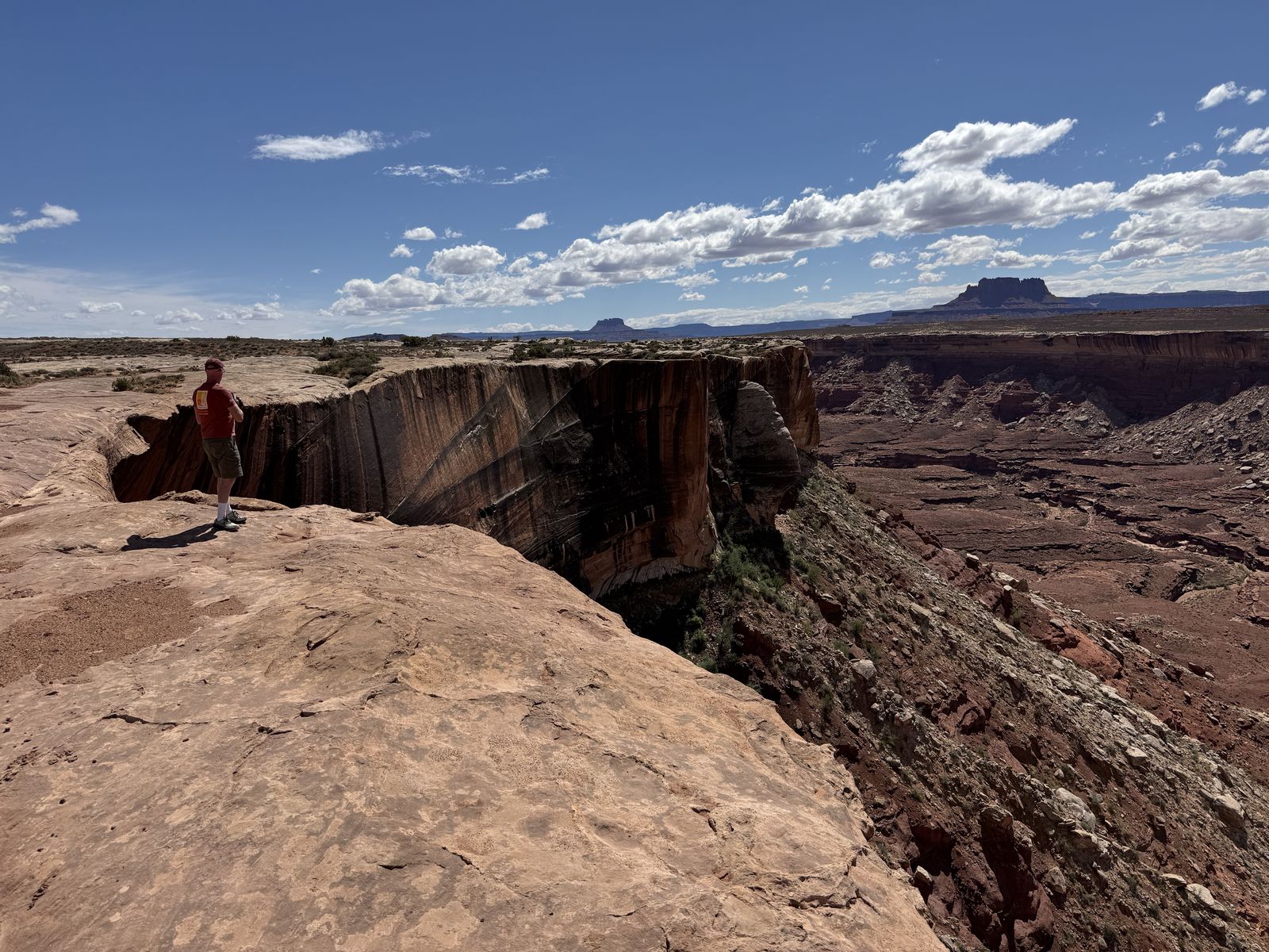
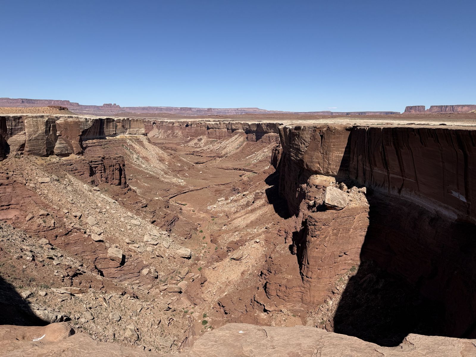
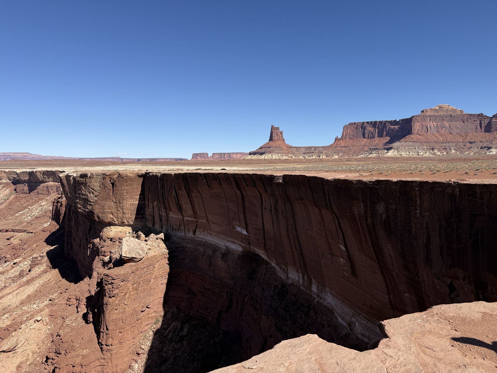
The Black Crack of the White Rim is an interesting geological feature near the end of our journey. It's an enormous dark fissure in the White Rim sandstone. It's visible from satellite images via the vegetation growing in a straight line in its shallower parts. At its deepest, you'd fall at least 65 feet if you misjudged your jump over the 3 foot wide crack. In those high areas, the crack is mostly shadow, you can't even tell it goes that far down. There are some areas where the gaps underneath the crack allow you to lay on your stomach and see the canyon floor many feet below. It's a disorienting experience to be honest. In other areas, near the "wings" of the crack, it can be as shallow as a few feet deep.
The biggest geological fact here is that Black Crack is a joint, not a fault. There is no evidence that one side moved relative to the other; the sandstone simply fractured. This could also help explain the vegetation we noticed. A joint creates a protected slot where soil, windblown debris and moisture can accumulate, so plants can trace a fracture that is otherwise surprisingly hard to see from above.
Hardscrabble Hill
"I walked up Hardscrabble Hill" was a funny idea we all had for a shirt/sticker for a Moab retailer. It gives a knowing wink to those who've been there and didn't really want to experience the drive up after looking it over.
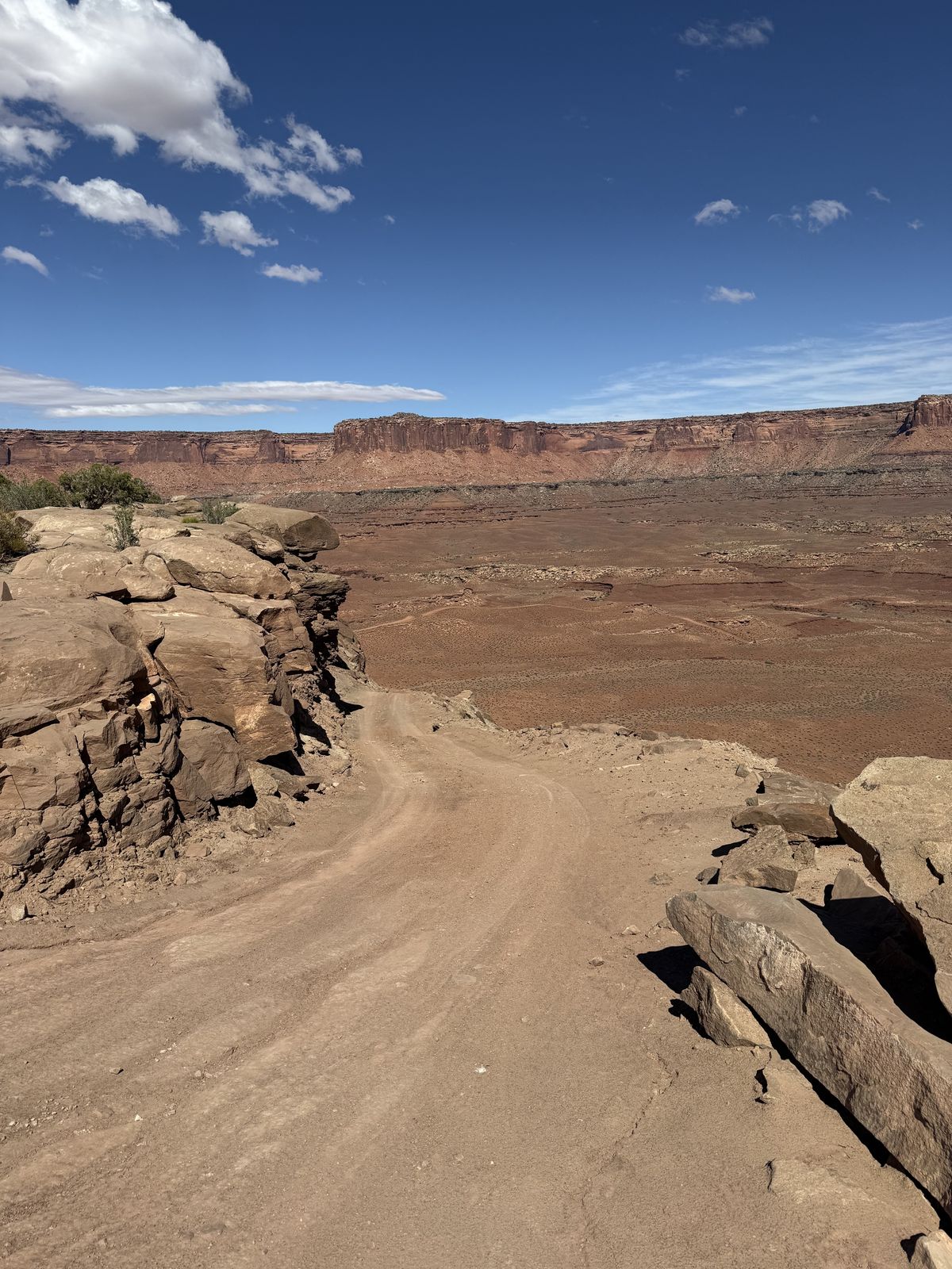
What makes Hardscrabble feel worse than Murphy is the combination of difficulties rather than one spectacular obstacle. Murphy is very steep and exposed, but relatively concentrated. Hardscrabble is a longer, more complicated climb with steep grades, loose rock and sand, rocky shelves, tight switchbacks, blind turns and considerable exposure. It feels steeper or more demanding than Murphy, sometimes requiring multi-point turns at the tighter switchbacks.
At Murphy the challenge is very obvious, you see the big climb and then just do it. At Hardscrabble, you keep thinking you're nearly through it and then get another steep turn, another rock shelf, another narrow bit. After Dustin took his truck up, I waited till I couldn't see him anymore and then several more minutes before trying to raise him on our radios to see if the coast was clear for us to come up. Alex answered that they weren't even halfway up yet which really surprised me.
On this part of the trail, you have to manage line choice, traction, momentum and vehicle placement for longer. The surface of Hardscrabble is loose rock, sand and softer fine-grained material, so storms can rearrange it substantially. Once you're past this climb, you've cleared the last real 4WD test of the route. You'll run into some shelf roads and switchbacks that might make your seat sweaty, but nothing technically as challenging as this hill.
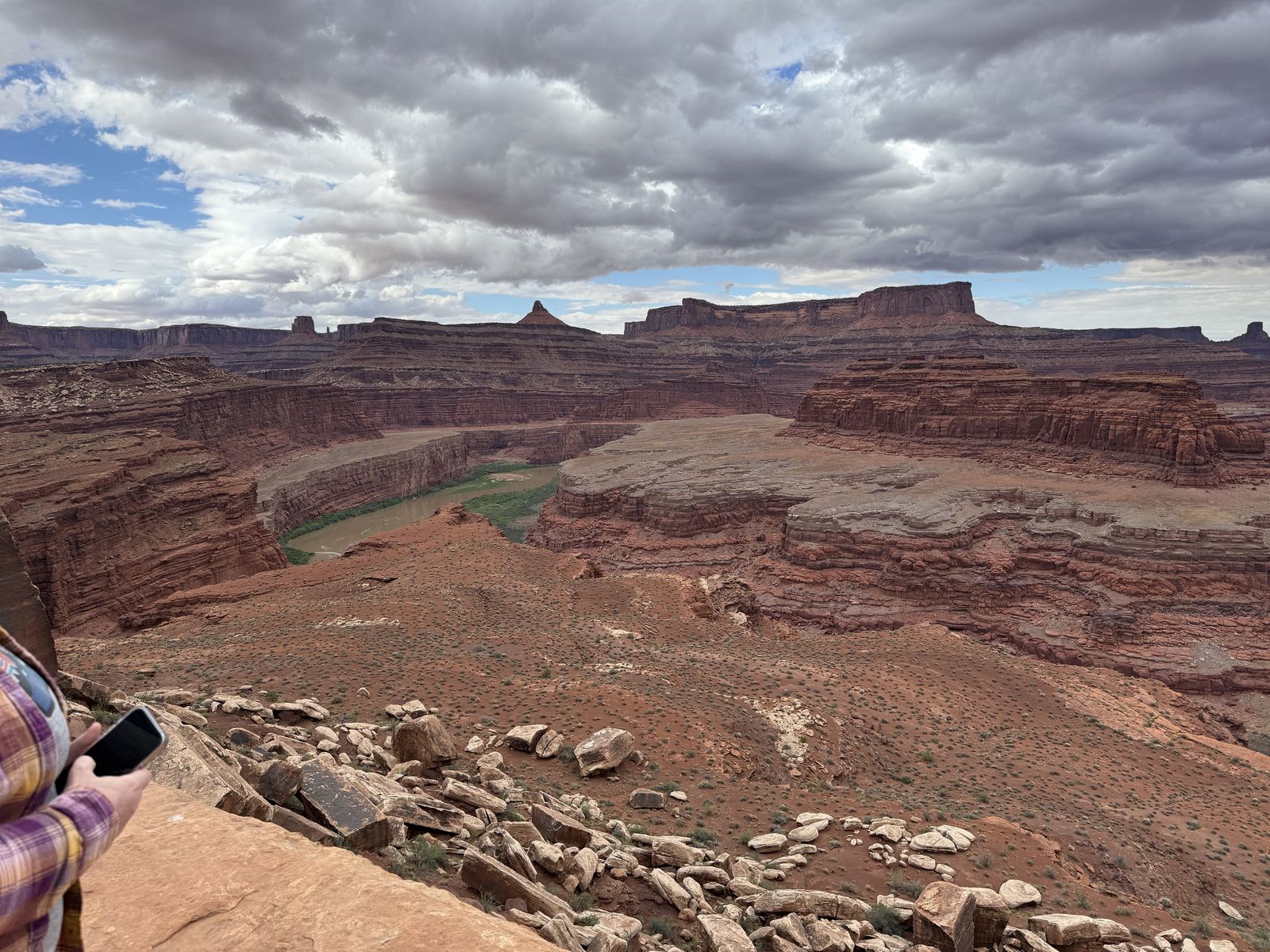
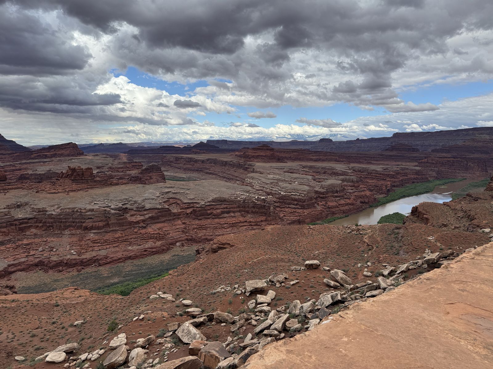
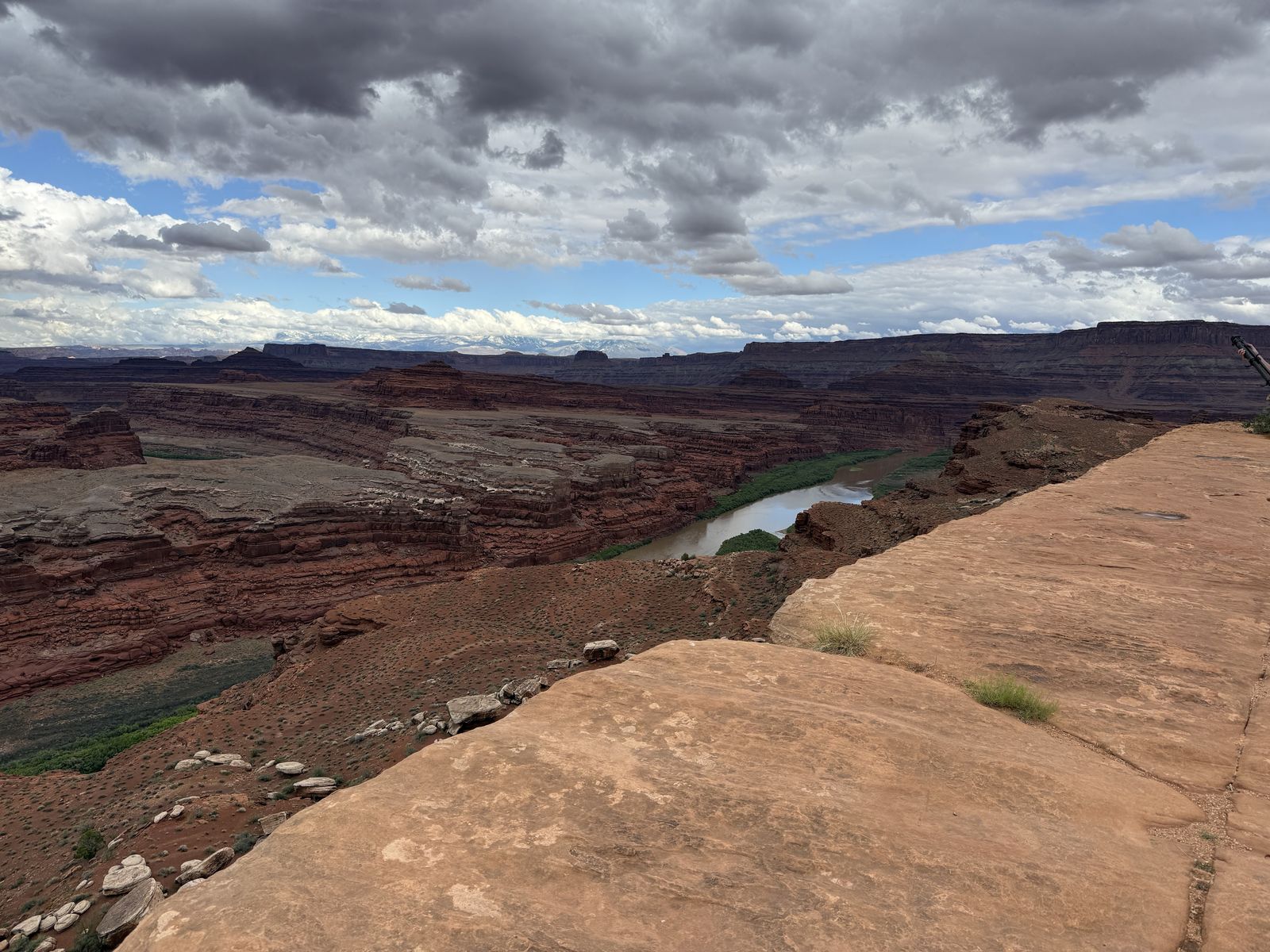
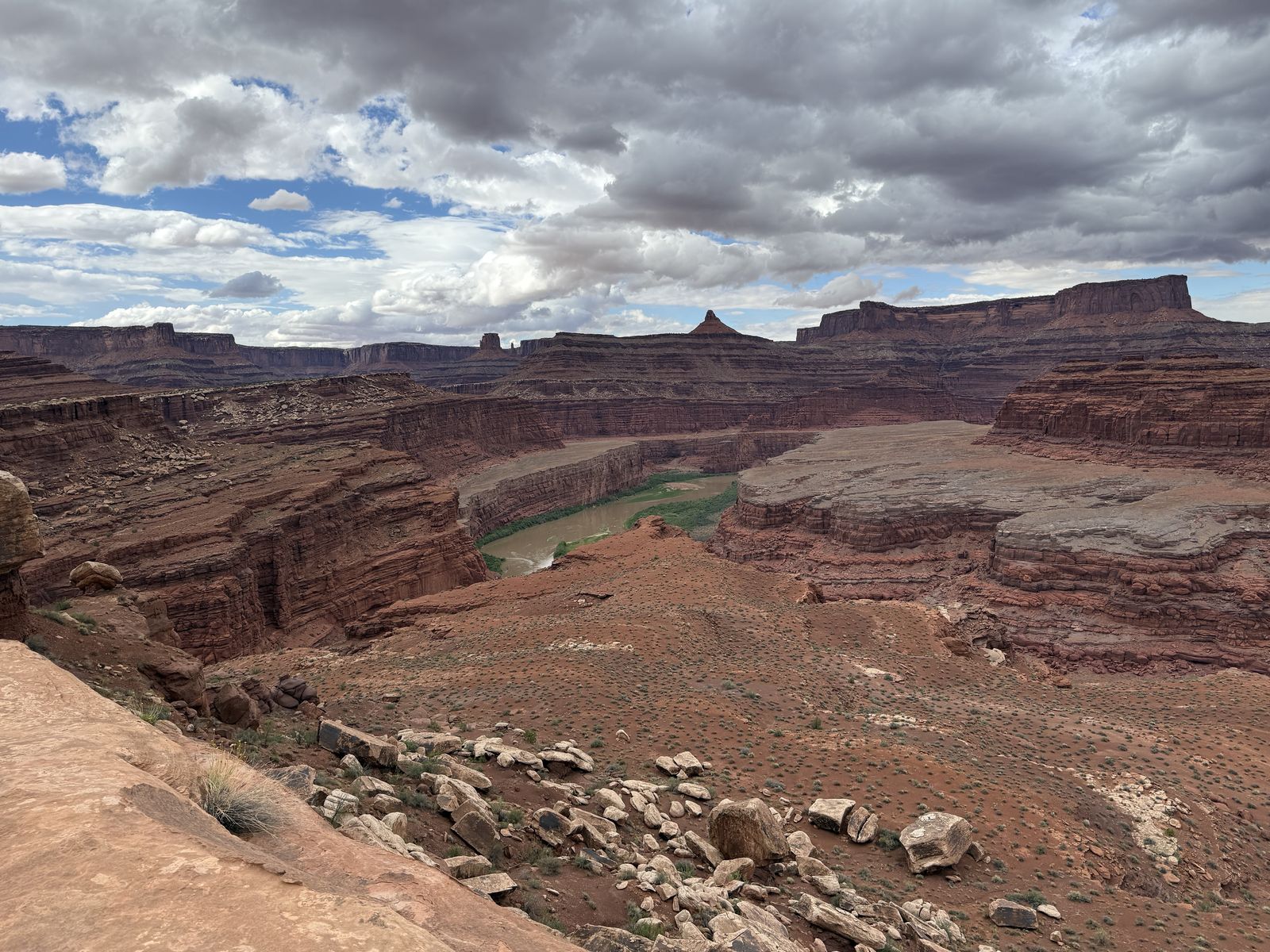
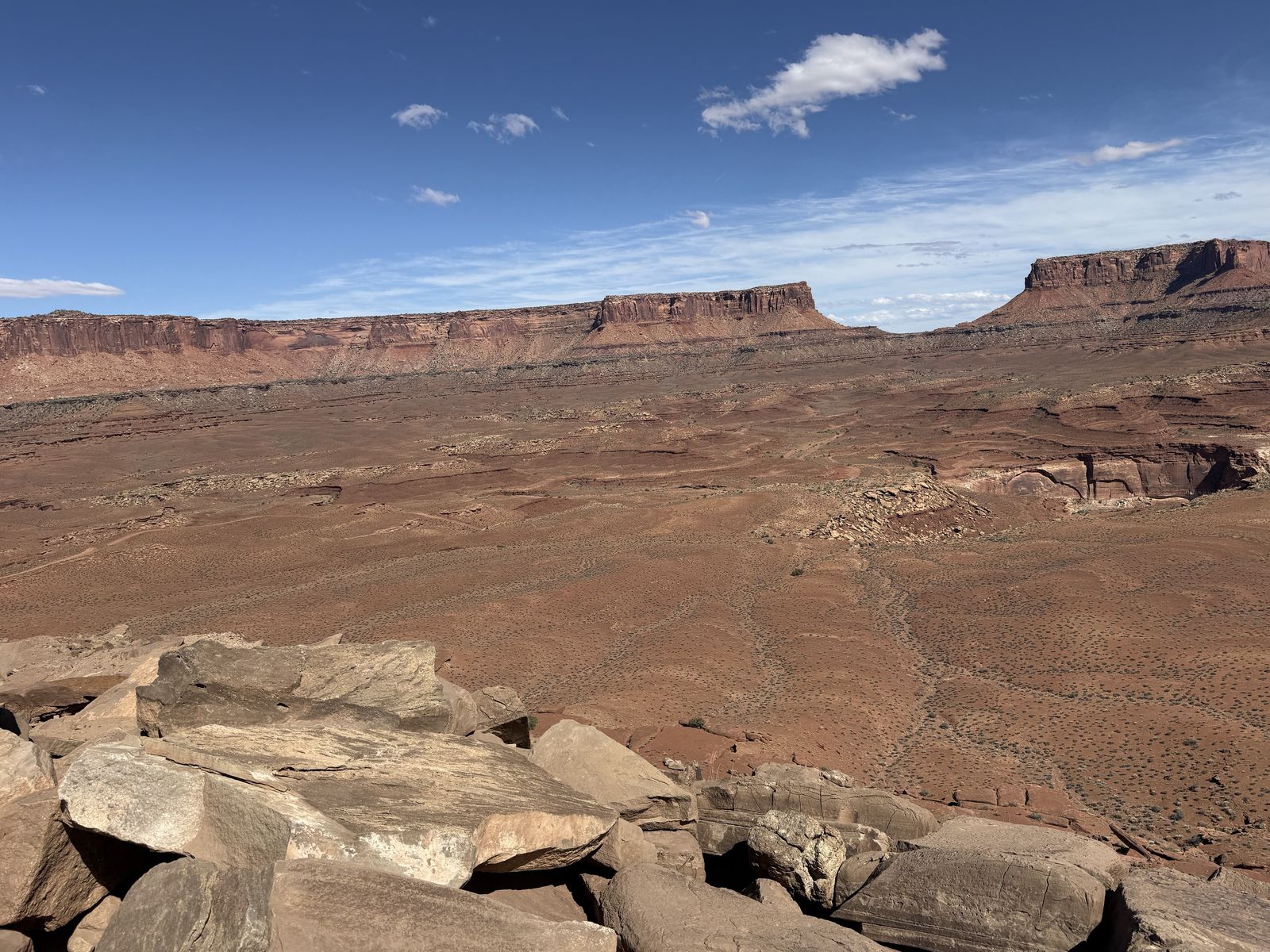
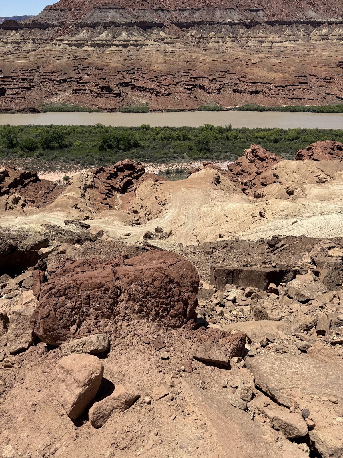
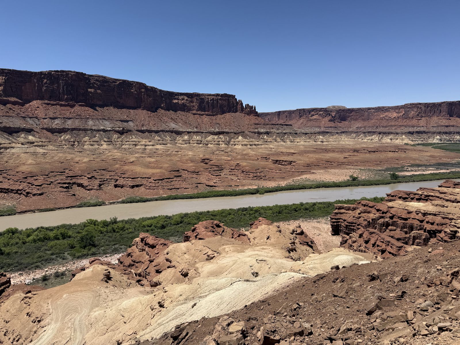
By this point in a clockwise trip, the White Rim Road has dropped from its sandstone bench and is traveling remarkably close to the Green River, through Potato Bottom. Hardscrabble forces the road up and over higher terrain before it can return to the river near Hardscrabble Bottom/Labyrinth. It's almost a mountain pass in miniature: river bottom, a steep ~400-foot climb, a high point, a steep descent, and then river bottom again.
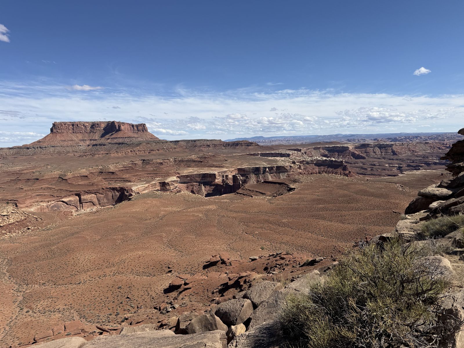
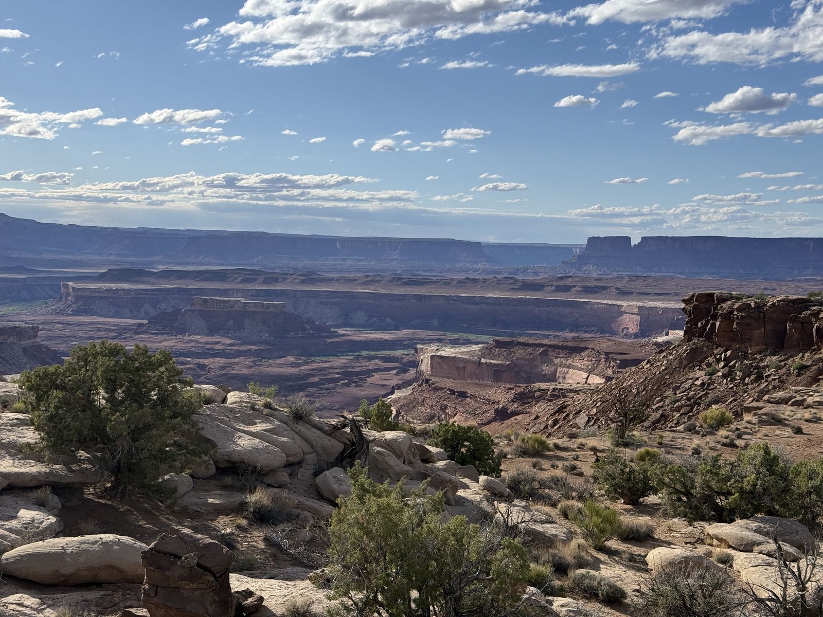
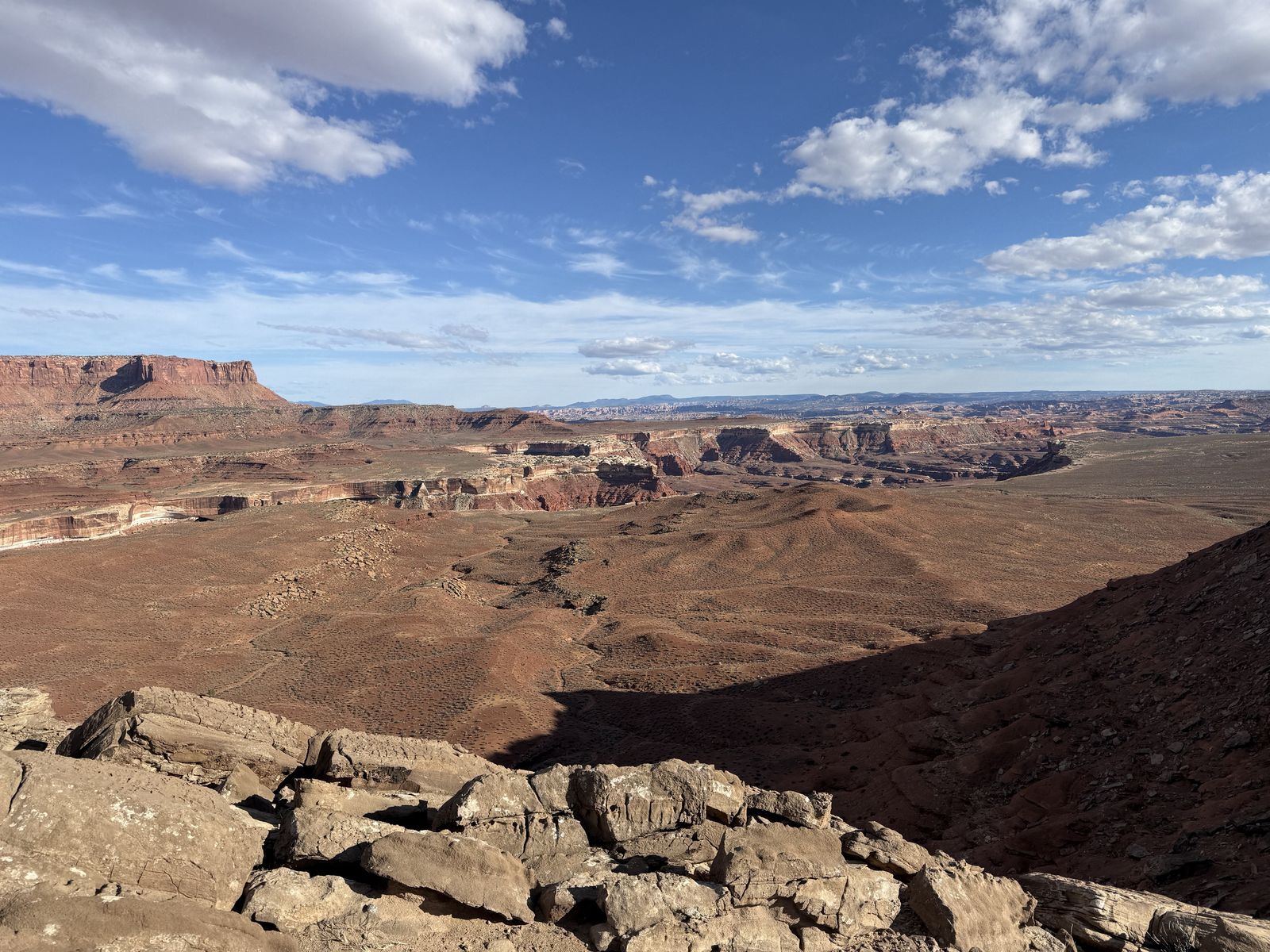
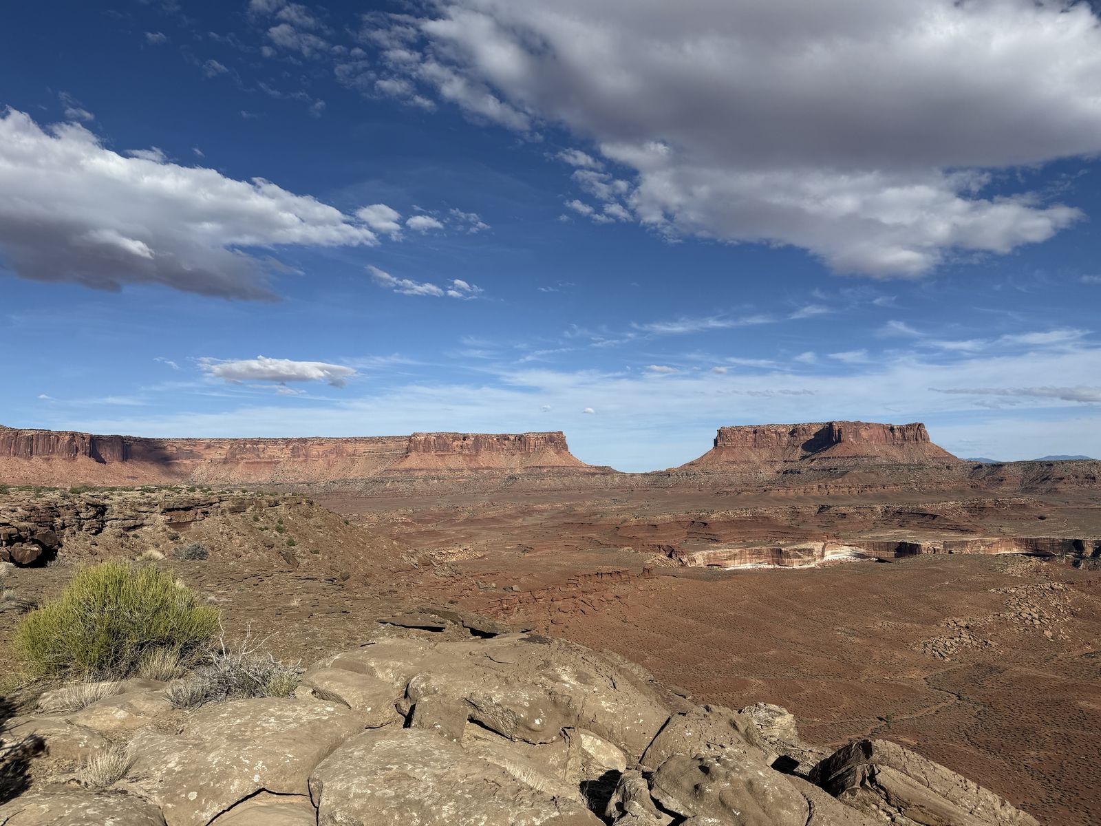
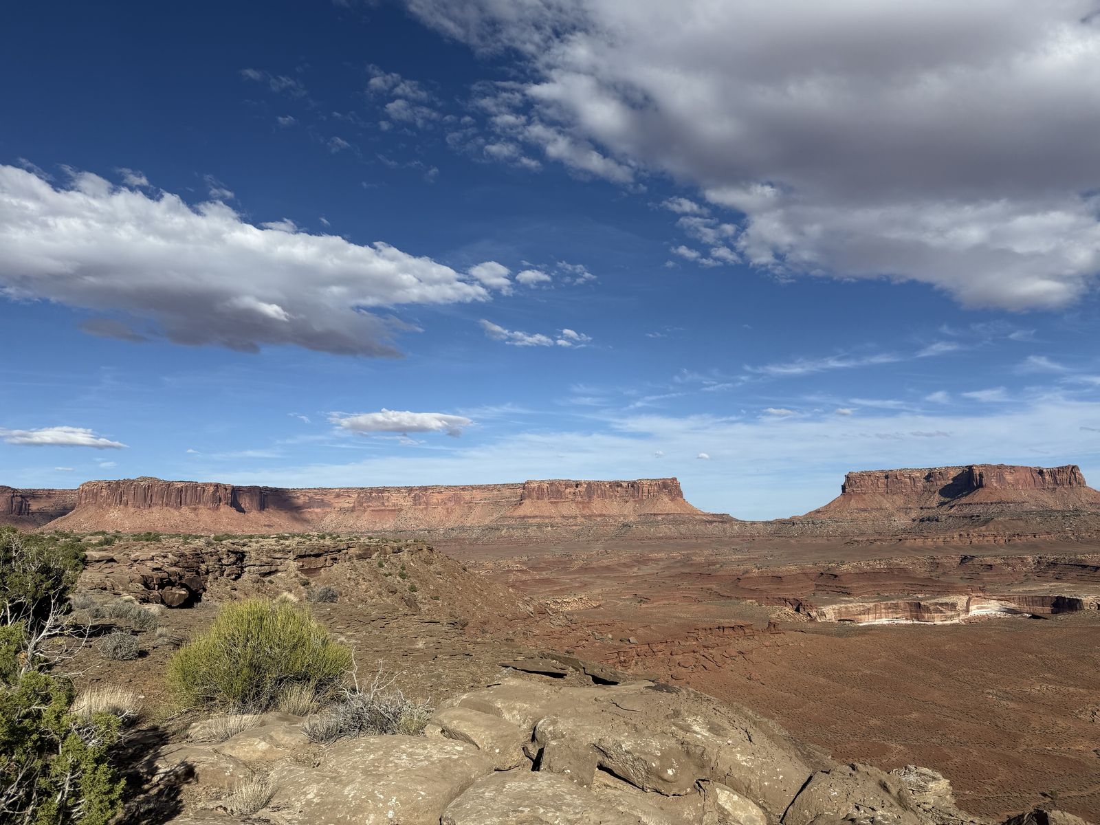
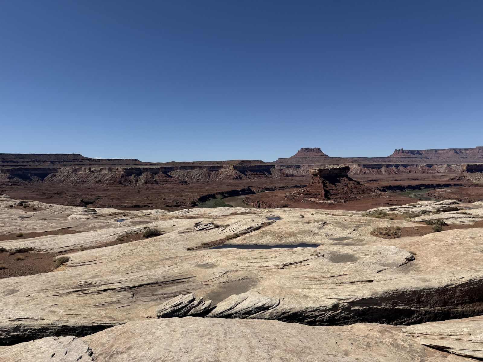
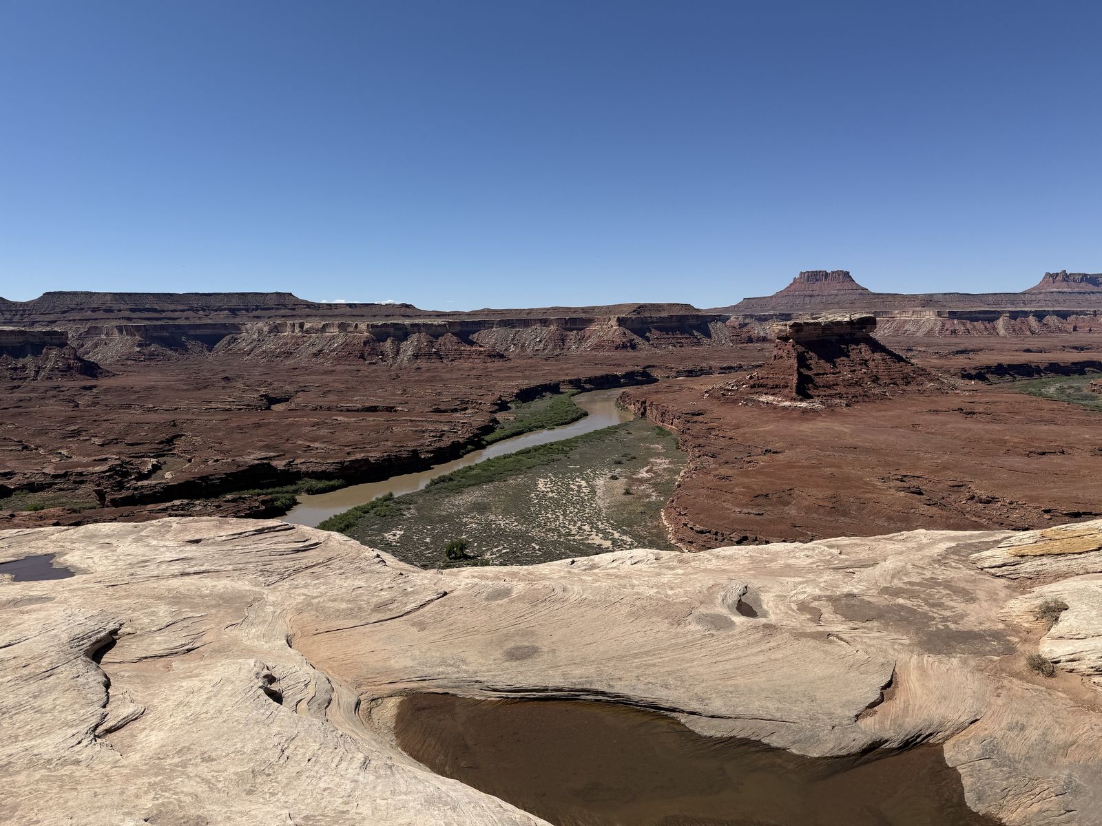
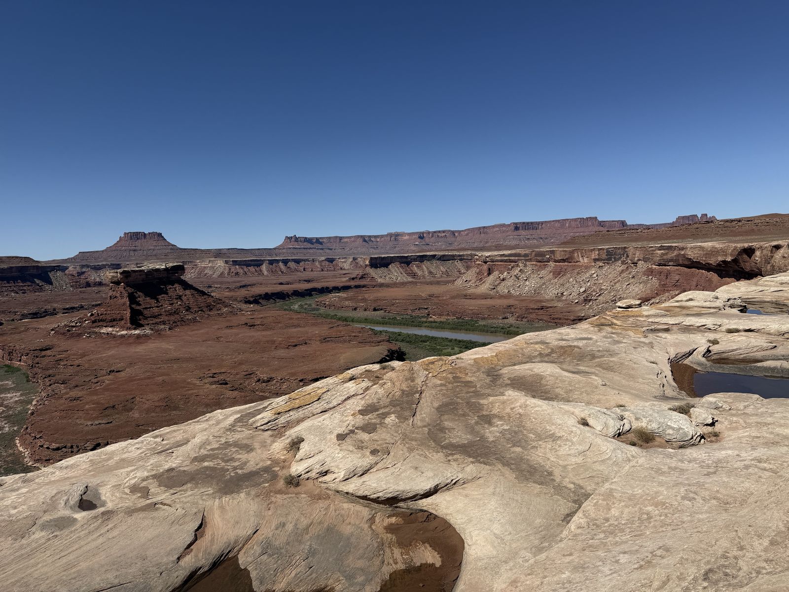
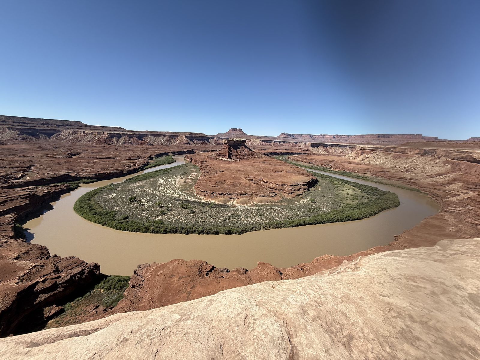
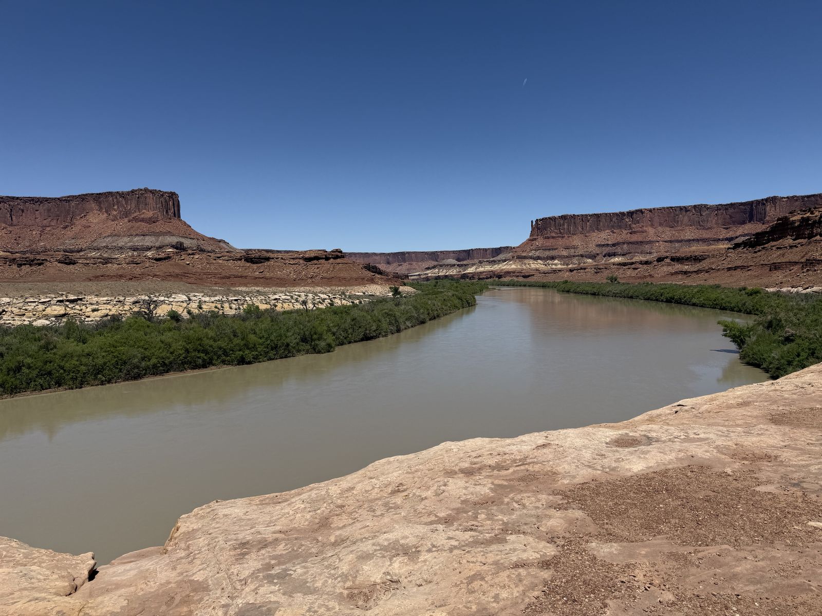
The views from the top of Hardscrabble of the Green are amazing and fulfilling whether you walked up or drove. This is almost a dividing line between two kinds of White Rim terrain: the high desert road we've been traveling and the low, river-dominated country around Labyrinth, Upheaval Bottom and Mineral Bottom we are just getting into.
There's something else cool immediately at the top: Fort Bottom. This is the long, narrow mesa projecting into an enormous bend of the Green River. A roughly 3.4-mile round-trip trail leaves the White Rim near the top of Hardscrabble and crosses the mesa to an Ancestral Puebloan stone tower overlooking the river. People have been standing here looking over the Green River for a very long time.
Mineral Bottom
Mineral Bottom is a pretty neat place to end the White Rim because it is more than just the point where the road climbs back to the mesa. It is a junction between Canyonlands' road, river, and mining history.
Traveling clockwise, the dramatic feature was obviously the Mineral Bottom switchbacks. After following the Green River through the Labyrinth Canyon country, the road suddenly climbs the canyon wall in a stack of tight, exposed switchbacks. NPS treats Mineral Bottom as one of the White Rim's major steep/exposed sections, along with Shafer, Murphy Hogback, and Hardscrabble. In a sense, it's the bookend to Shafer, as we began the trip by dropping dramatically off the Island in the Sky country and finished it with another huge switchback climb back out.
There's a great bit of very recent geological history there, too. On August 19, 2010, a severe storm sent flash floods and rockfalls through the area and obliterated substantial portions of the switchback road. Photos from the event are remarkable and show the road simply disappears where the canyon wall collapsed. The damage made a complete White Rim loop impossible for more than seven months. The rebuilt switchbacks reopened in March 2011. This episode illustrates something easy to forget while driving these roads. Canyonlands looks ancient (and it is) and static, but the landscape is still actively dismantling itself. A road carved into a steep wall of sedimentary rock can be erased in a single storm.
The bottom itself is also an important Green River access point. Mineral Bottom lies just outside Canyonlands National Park on BLM land and is the normal takeout for people floating Labyrinth Canyon from Green River or Ruby Ranch. It's also a launch point for boaters continuing downstream through Stillwater Canyon and into Canyonlands. So where our 4x4 trip was ending, another classic Canyonlands journey of traveling by raft was beginning for some. We saw a lot of people in the bottoms just partying or getting ready to load up their raft and cast off.
There's even still a backcountry airstrip at Mineral Bottom (maybe it should be named Airport, instead)? It dates to the Cold War, uranium mining era and was used to support mining operations; many of southeastern Utah's primitive airstrips have similar uranium-boom origins. So here within a very small area we have a 4WD road, the Green River boat ramp, a primitive airstrip, several abandoned mine workings, and the remnants of Cold War atomic history.
The "back again"
Once you climb out of Mineral Bottom on the switchbacks, you're on Mineral Bottom Road. From the top of the switchbacks to UT-313, it's about 13 miles of graded dirt road. BLM gives the full distance from UT-313 down to Mineral Bottom as roughly 15–16 miles, with the steep switchbacks making up the last couple of miles.
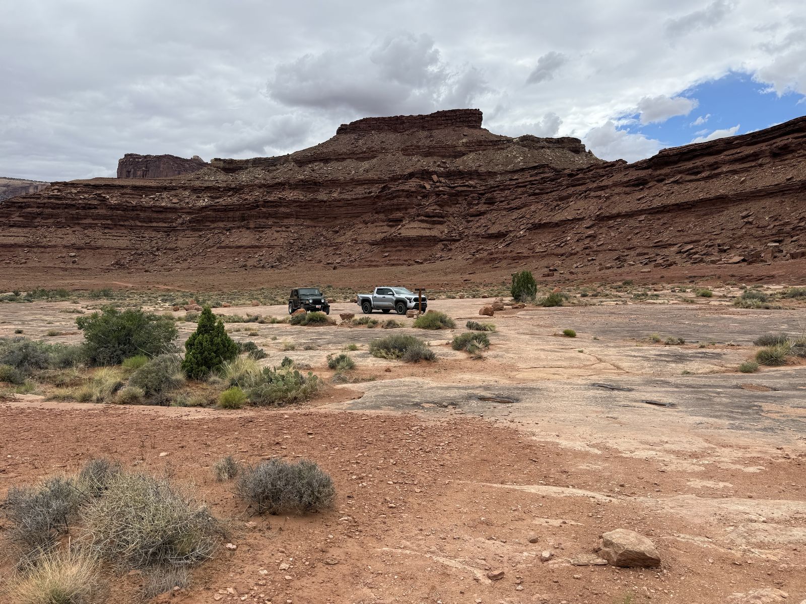
That stretch is very different from the White Rim itself as it's generally wide, fast, well-graded dirt across the open mesa, and in dry conditions it's usually straightforward. You'll feel really weird driving so fast after days of sub-10-mph driving. Once you're out of the Mineral Bottom switchbacks there are some pit toilets with a large parking area where you can have a pit stop to regroup. I'm very glad we had friends to travel with on this journey, that made it more robust and fun. We didn't seem any other vehicles during this trip, maybe 1 Grand Cherokee we passed going counter-clockwise before Murphy's.
The rest of the drive, while is decently long, it is on a well-maintained gravel road till you hit the main road in the park, which is paved. As to the White Rim Trail, I'm glad they never got around to paving it.
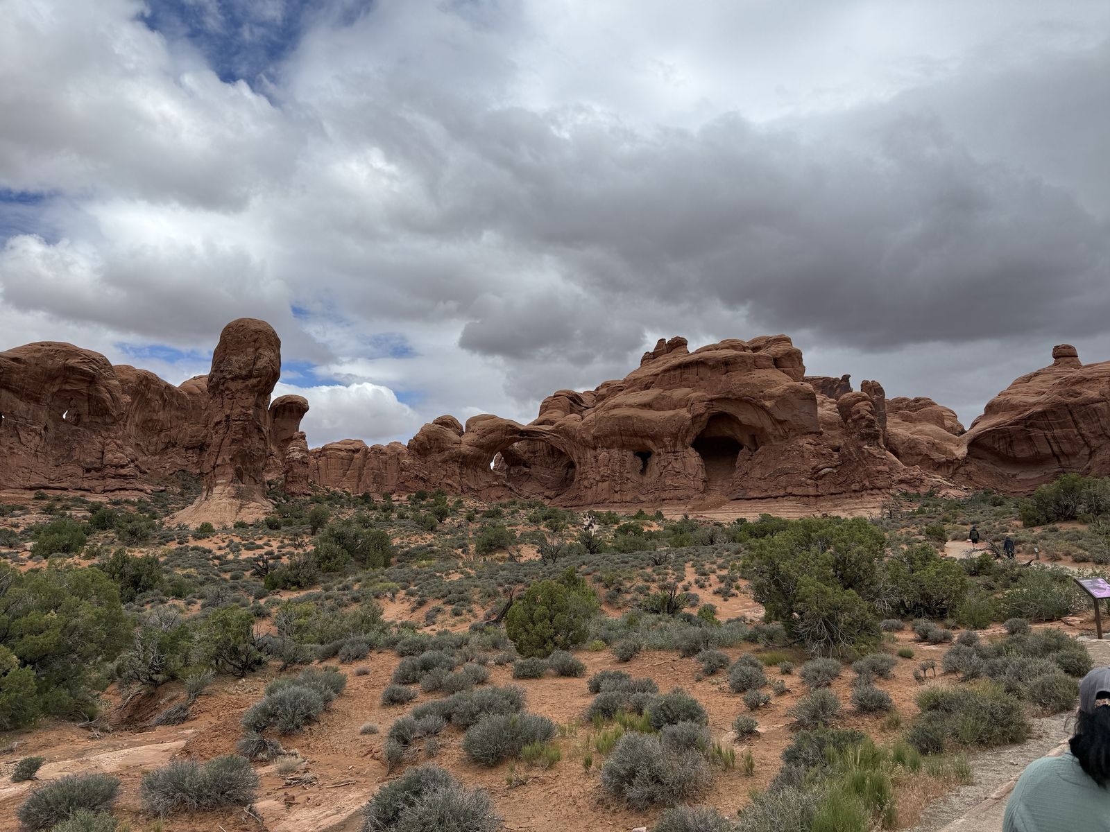
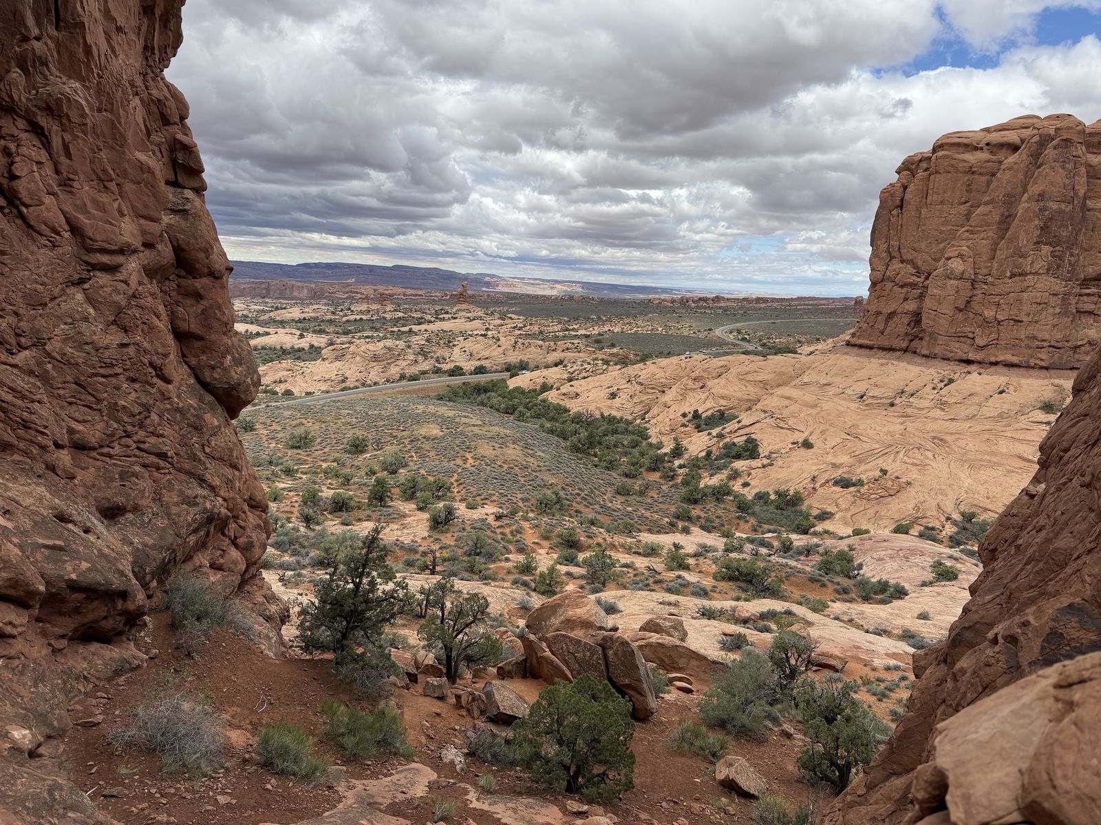
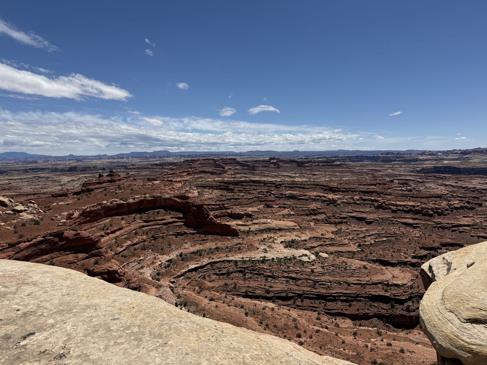
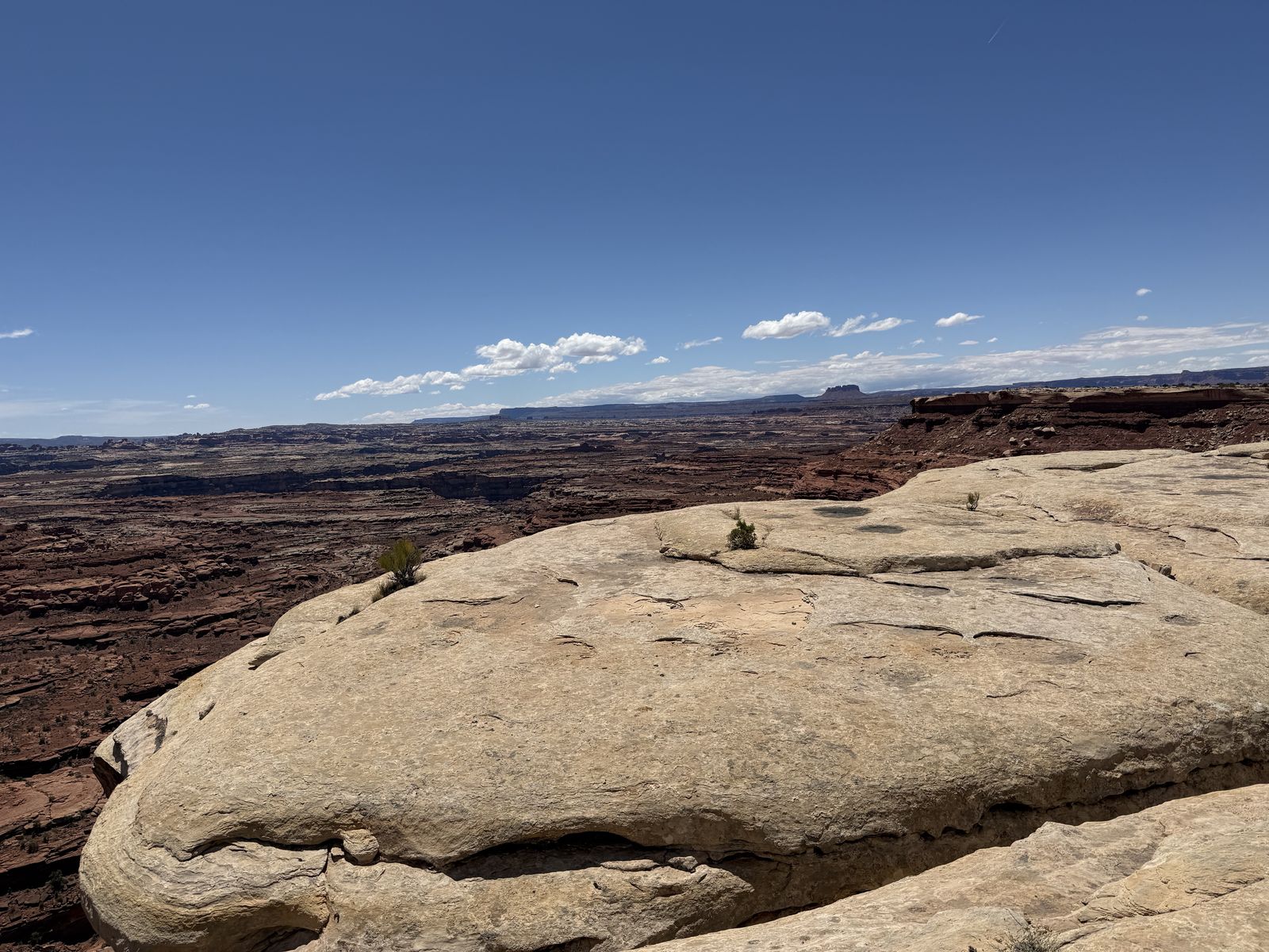
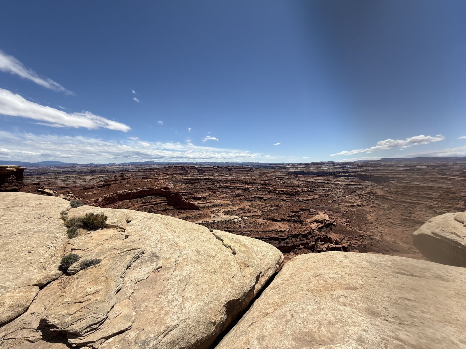
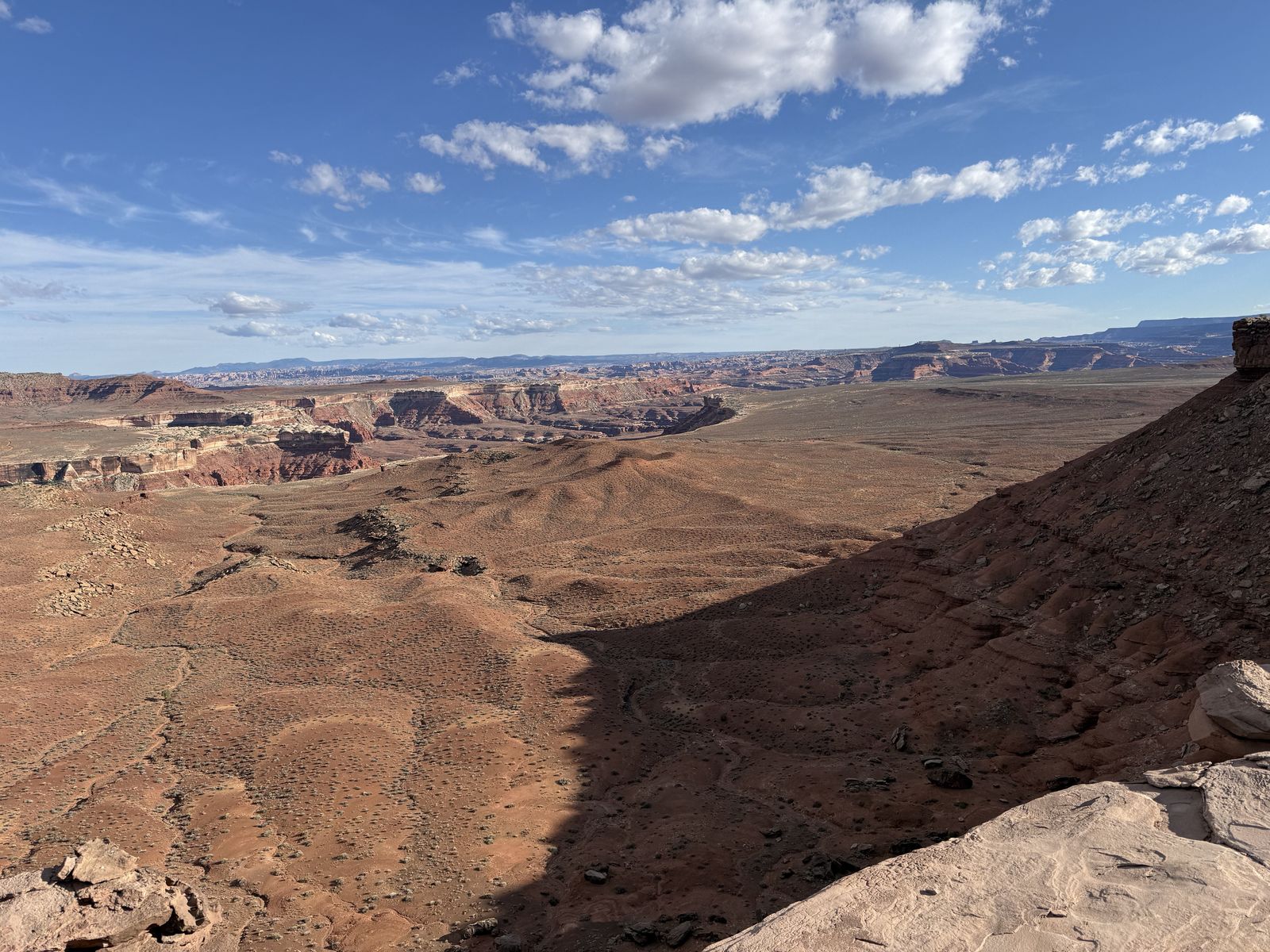
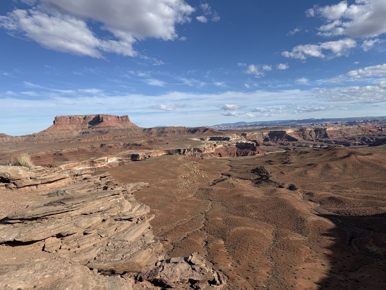
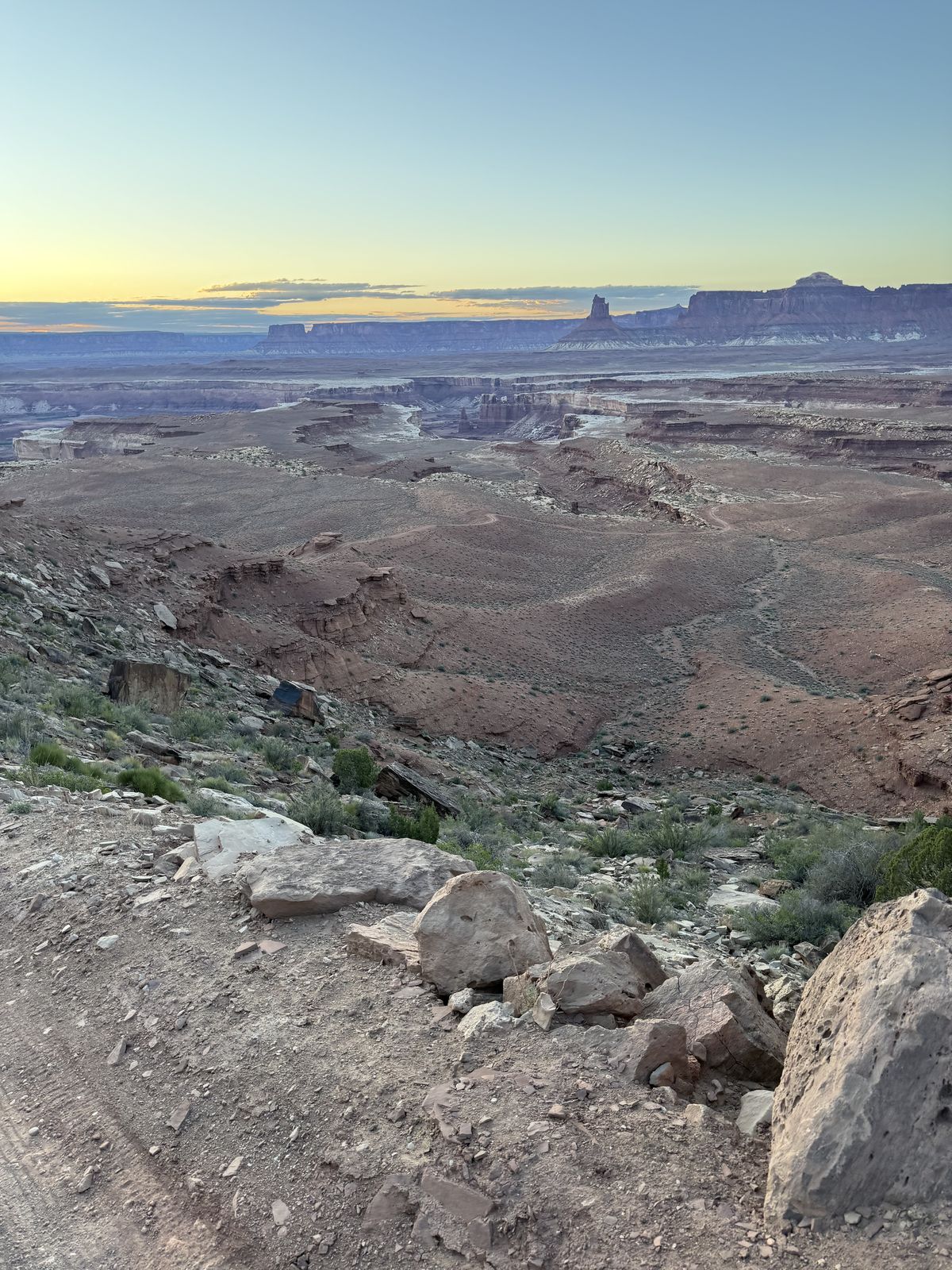
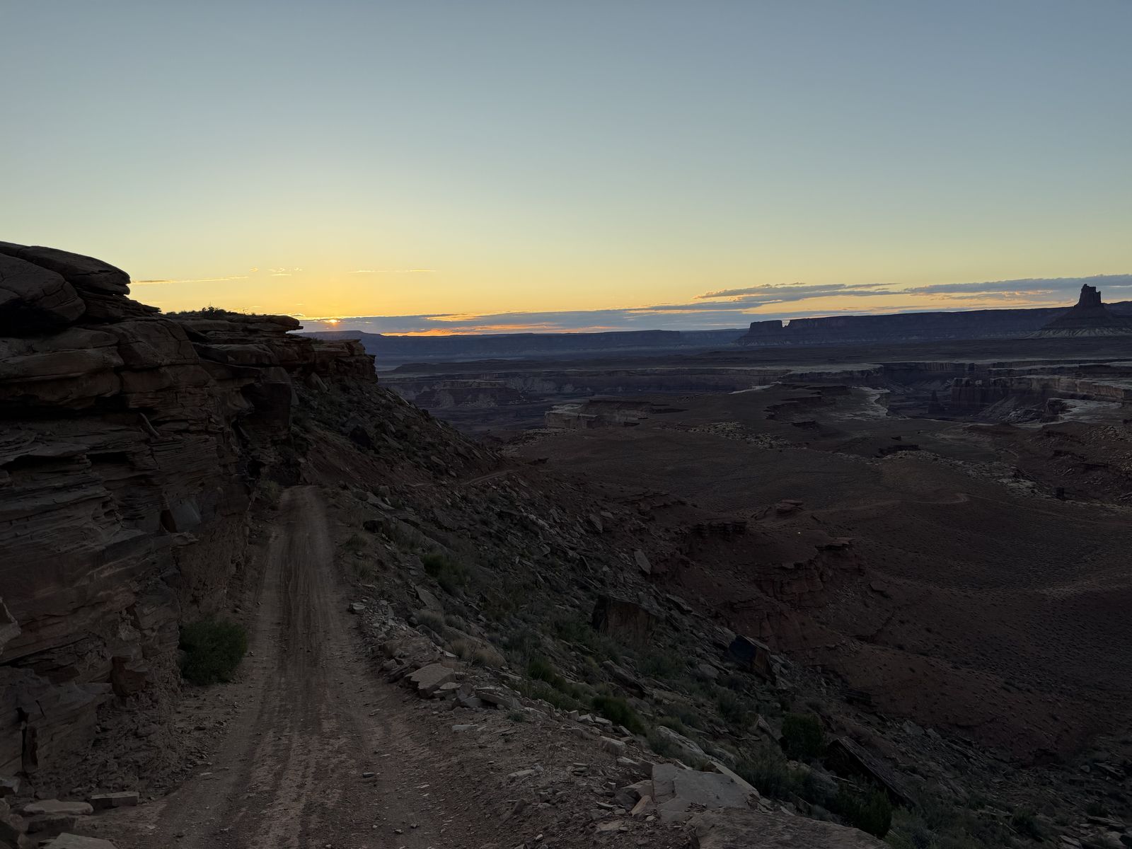
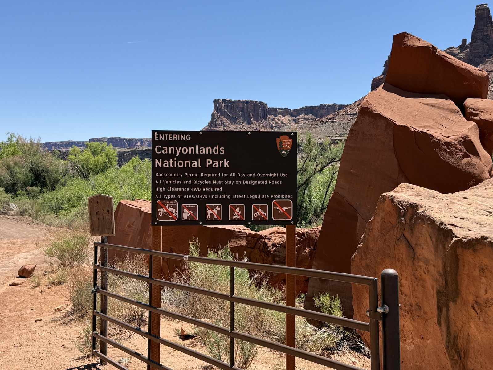
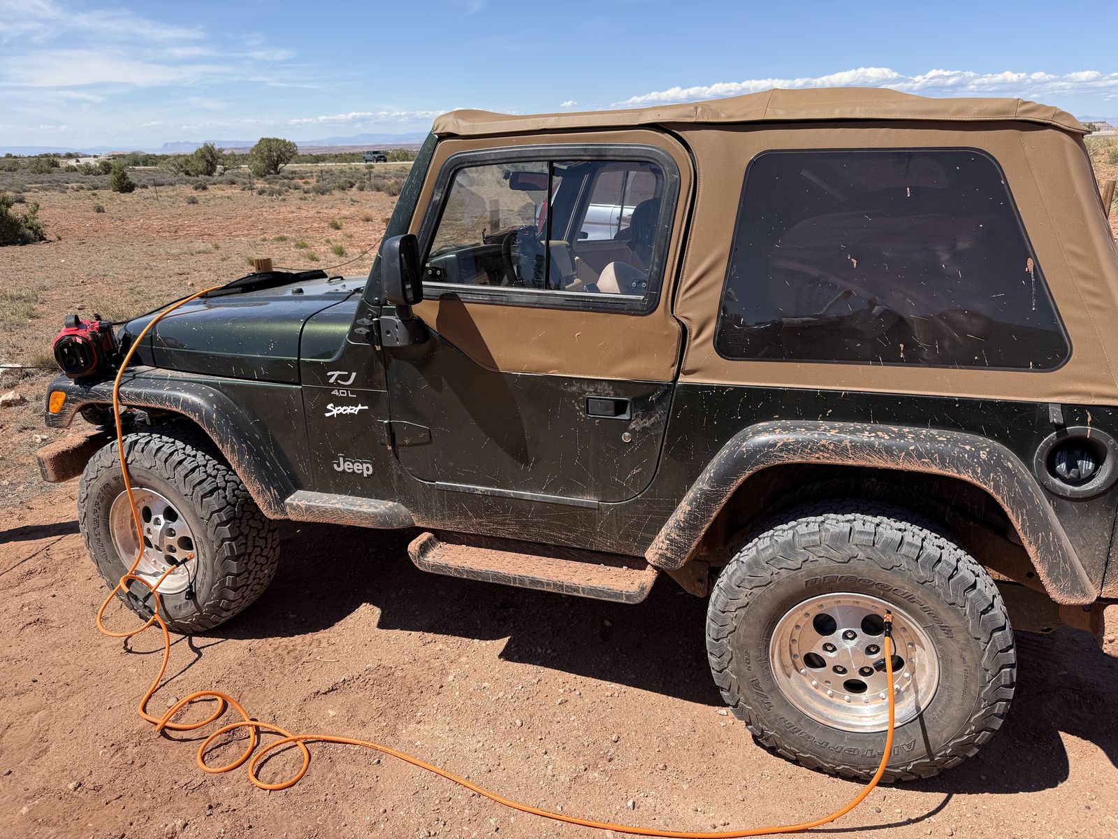
Addendum
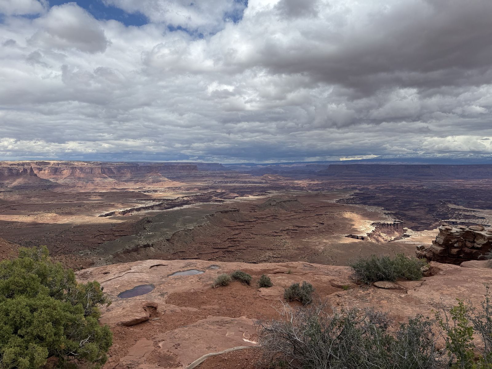
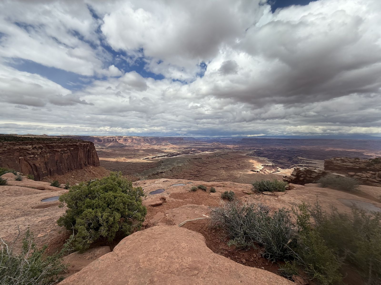
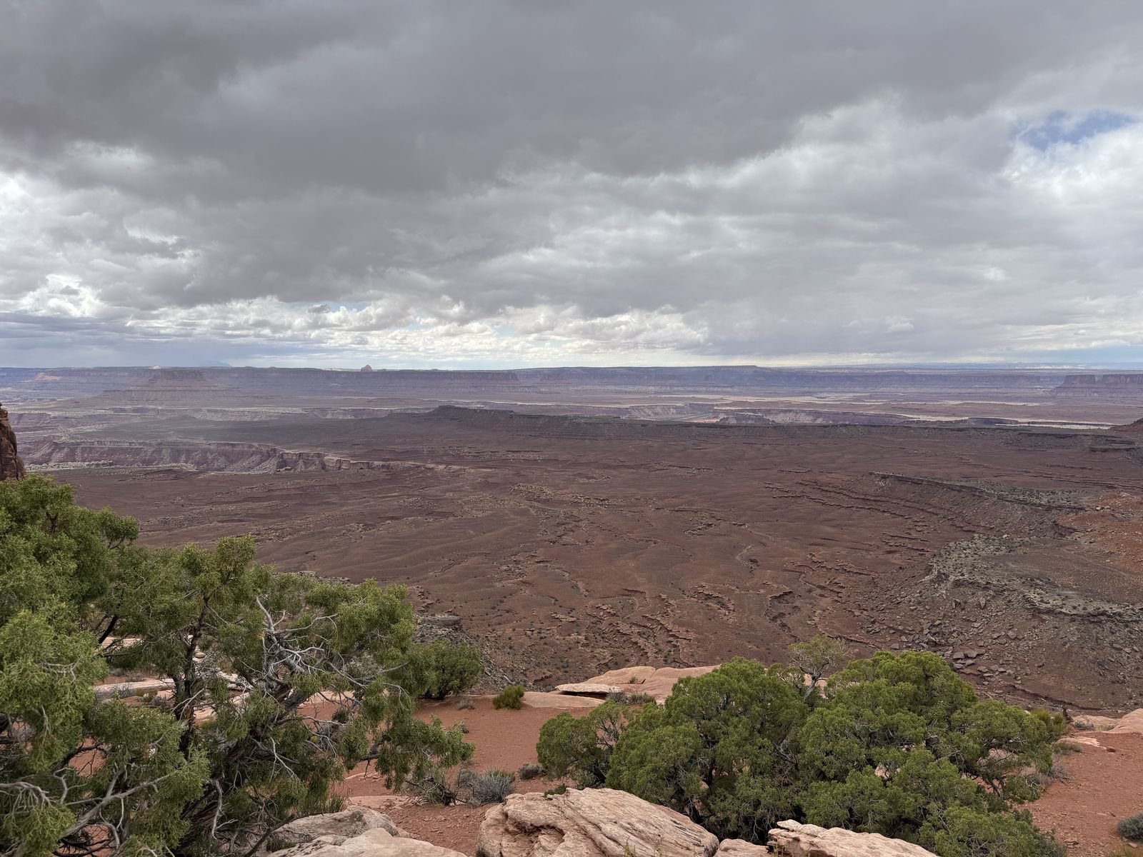
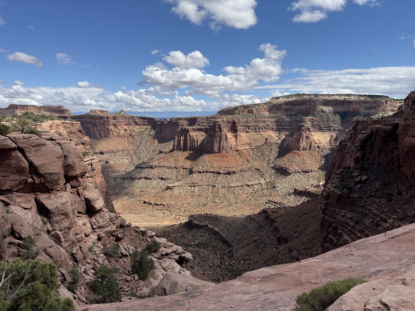
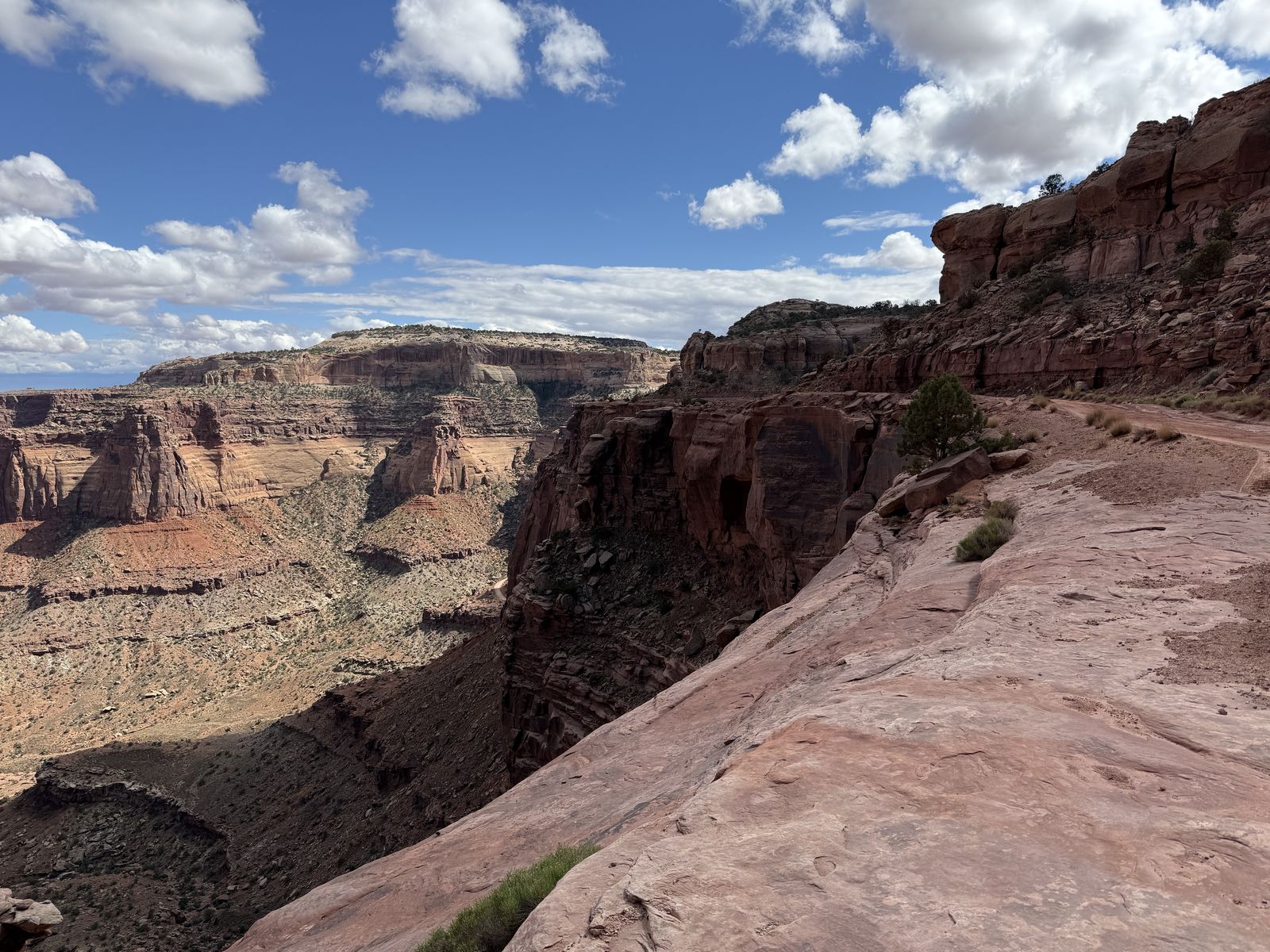
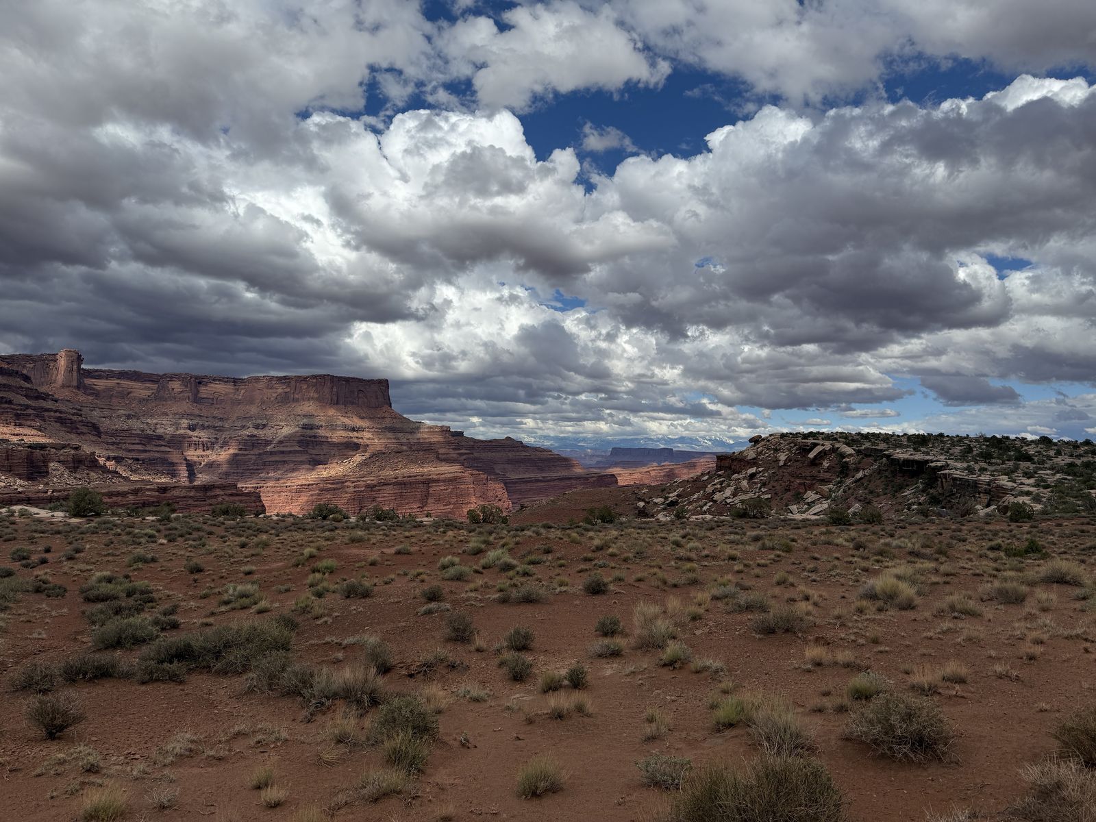
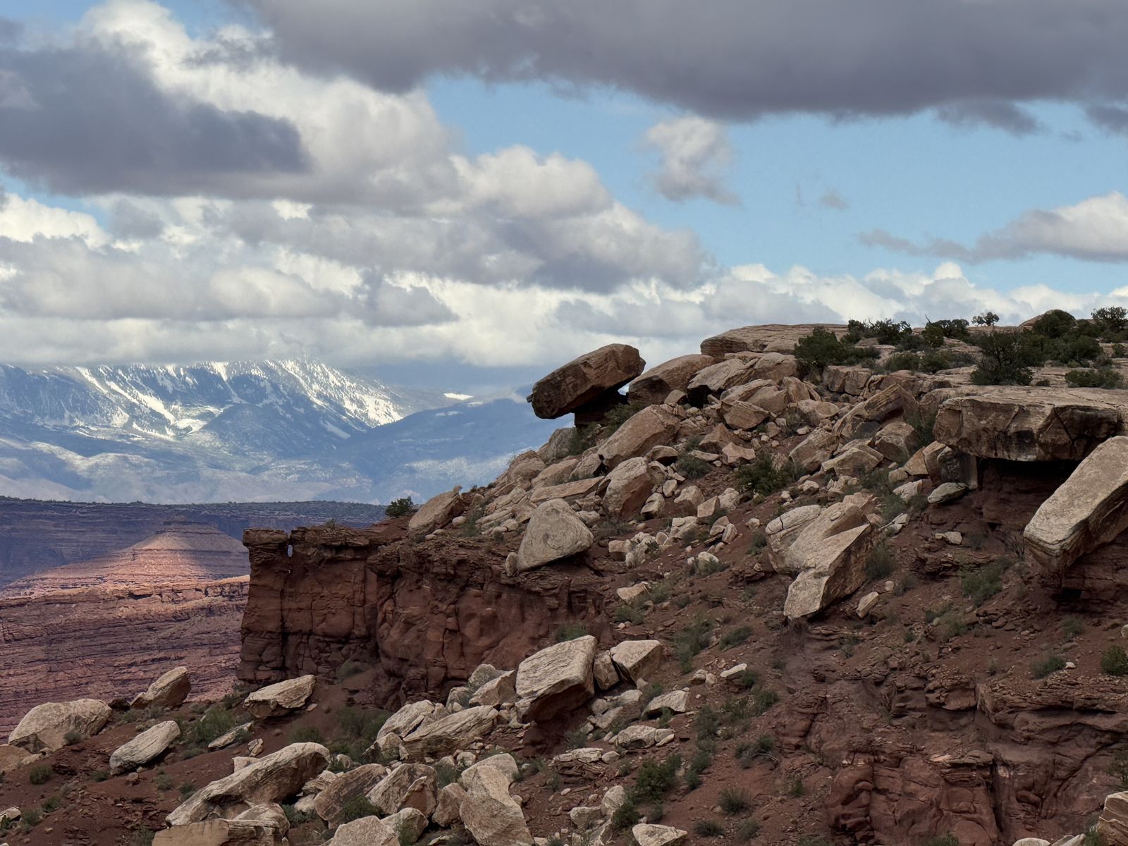
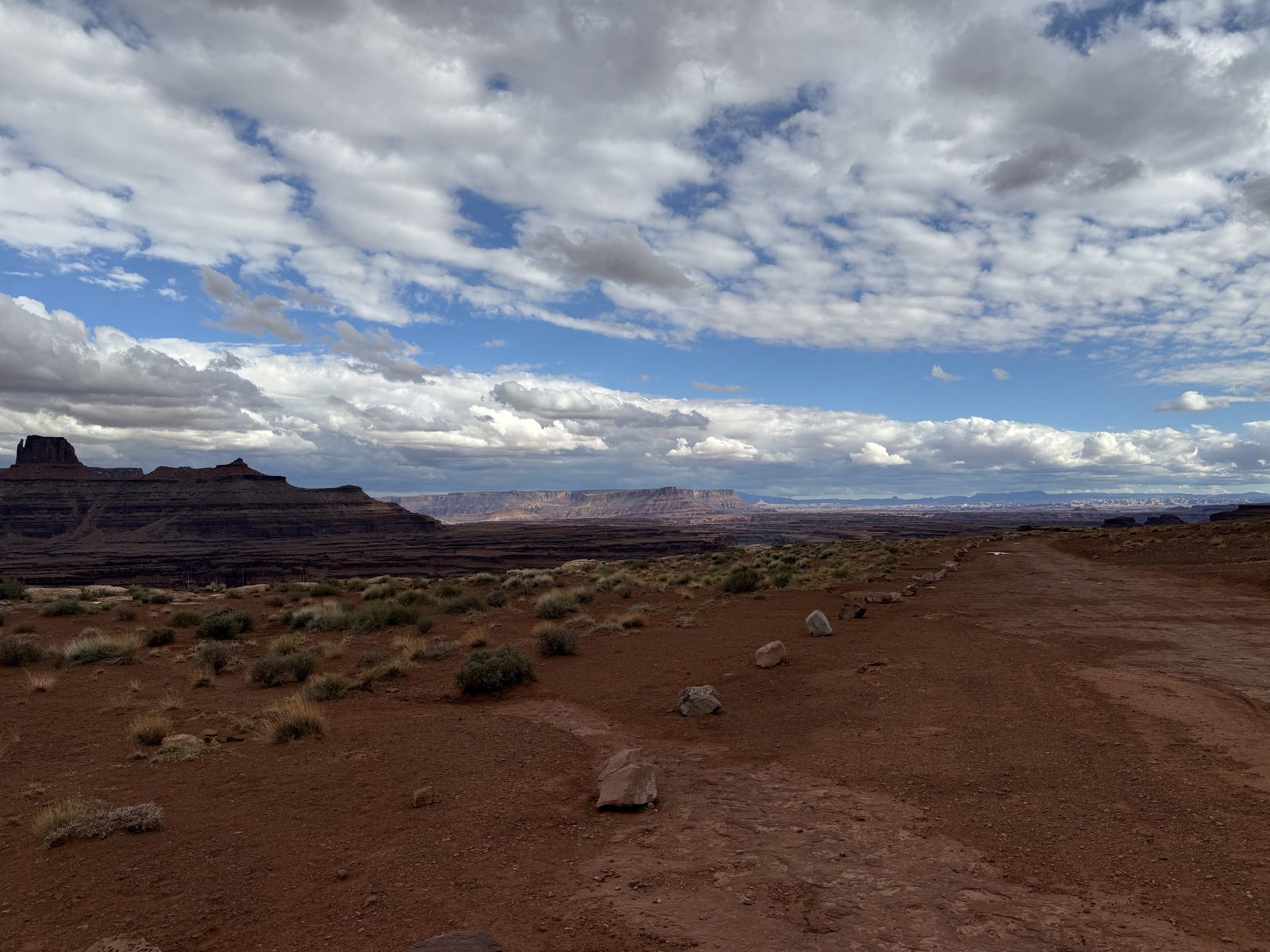
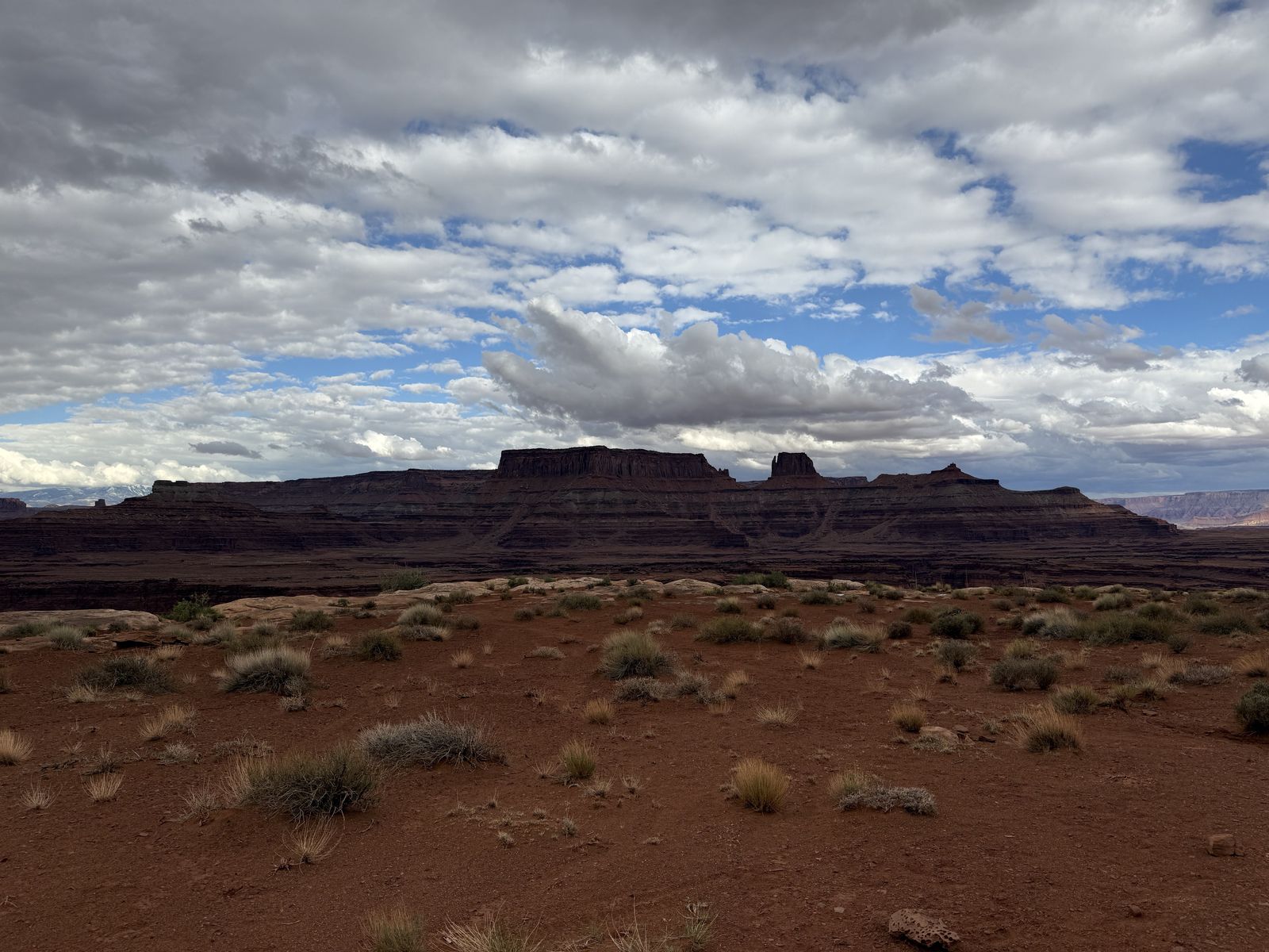
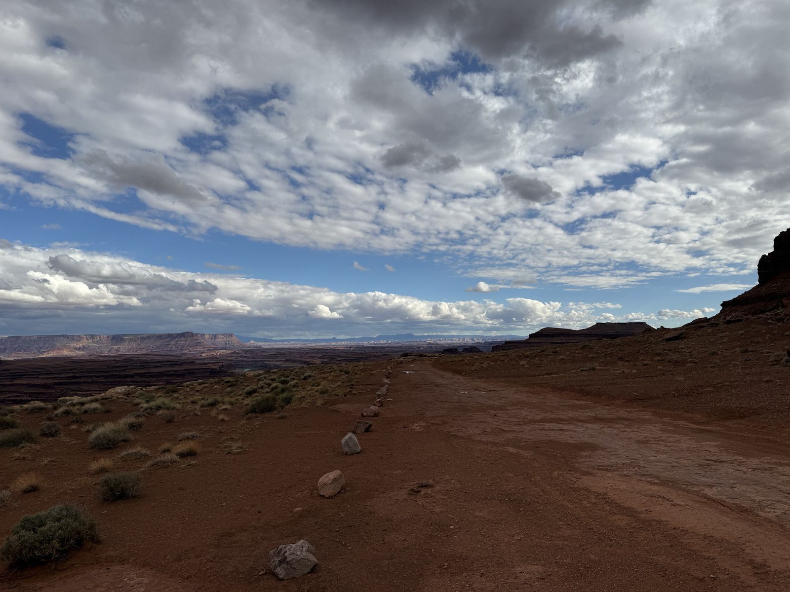
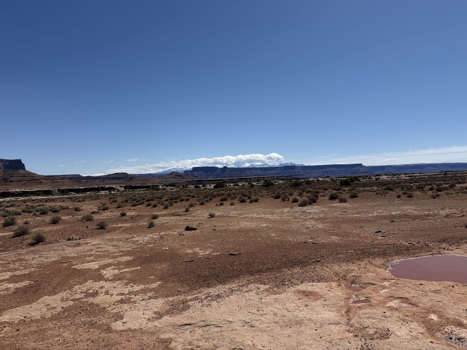
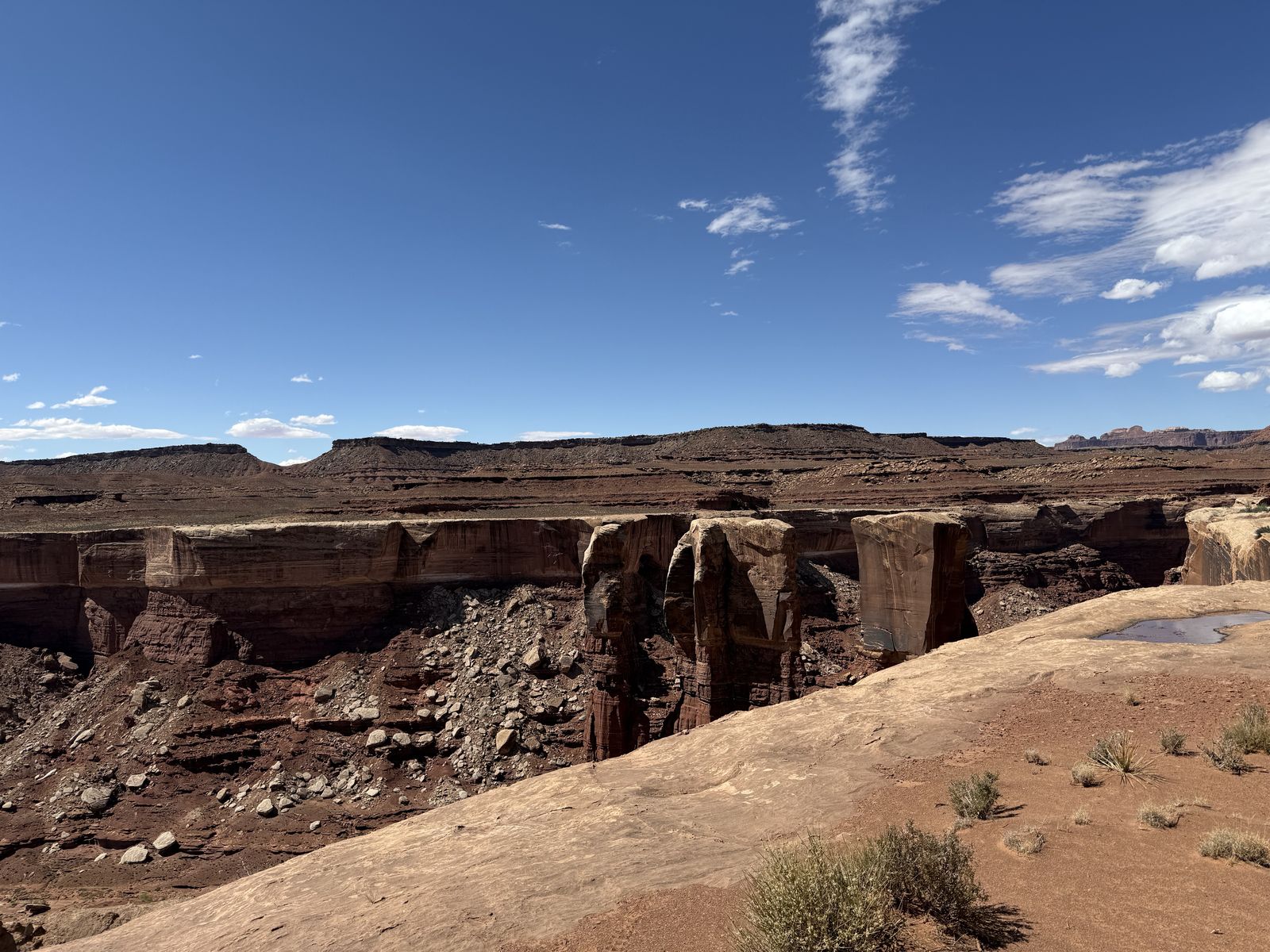
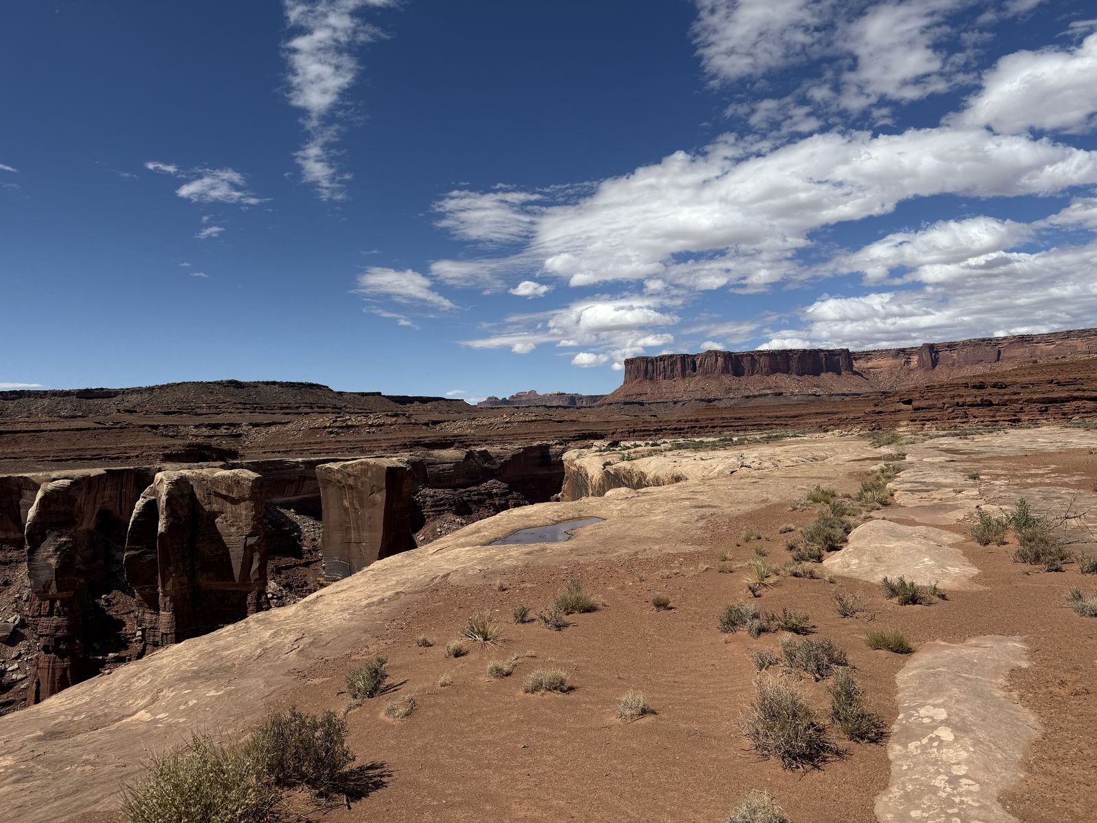
The weather was great in May which we were surprised by. You can see several holes with a decent amount of water in them in my photos. It rained in Moab/Canyonlands the day before our trip began. The first day was cloudy but the second and third were beautiful bluebird days with little cloud cover and nice spring temperatures. We really couldn't have asked for a better weather experience of the drive. If we had gone in April like originally planned it might have been too cold.
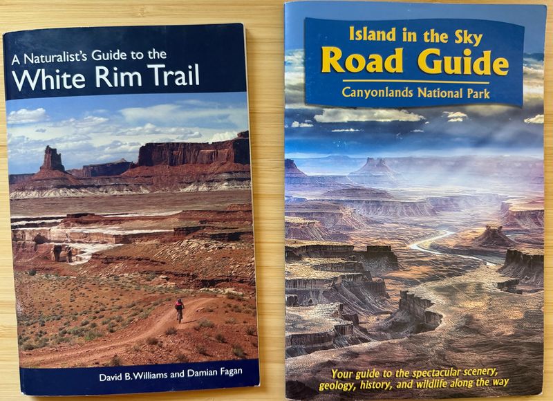
- Williams, David B., and Damian Fagan. A Naturalist’s Guide to the White Rim Trail. Wingate Ink, 2007 reprint. 62 pp. ISBN-13: 978-0964417311; ISBN-10: 0964417316. The original version dates to 1994; Williams’ own site says it was updated in 2007. It is a mile-by-mile natural-history guide covering geology, ecology, plants, animals, and human history along the White Rim trail.
- Williams, David B., and Damian Fagan. Island in the Sky Road Guide: Canyonlands National Park. 2017. The current CNHA edition is a 28-page, 6 × 9-inch softcover with mile-by-mile descriptions, sidebars, photographs, and a park map, covering scenery, geology, history, wildlife, and points of interest on the Island in the Sky scenic drive.
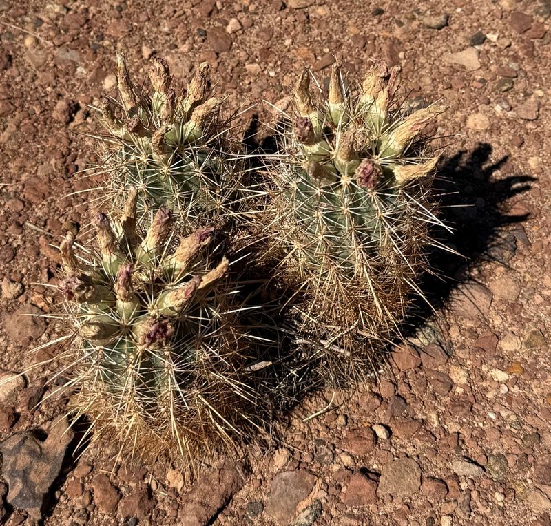
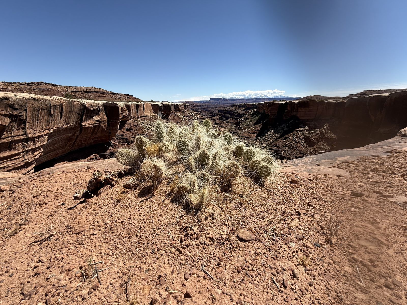
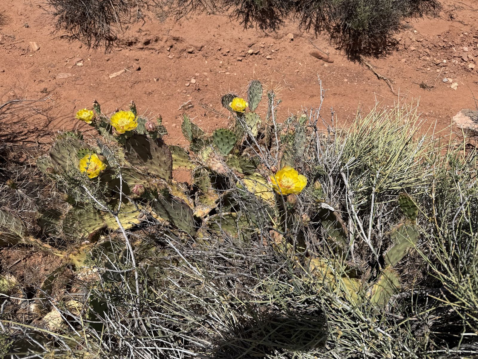
Whipple's Fishhook are listed as uncommon in Canyonlands. They are somewhat related to the much rarer (and not appearing in this trip report, or even in this part of Utah) Uinta Basin hookless cactus. Someday, I'll find one of those.
Notes
I can't find who named it that, or why. Its first named appearance shows up in climbing logs from the early 1990s. ↩︎